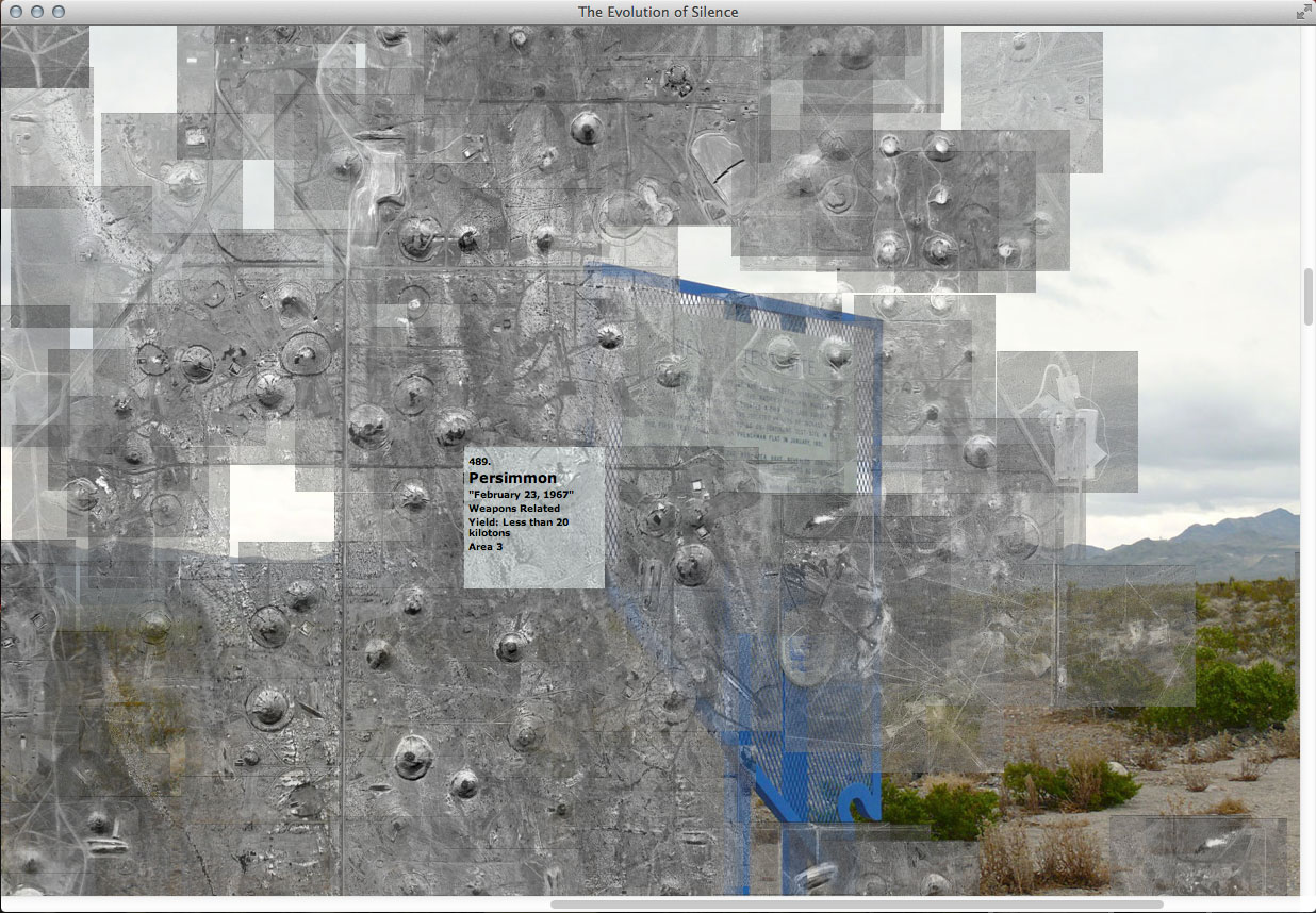
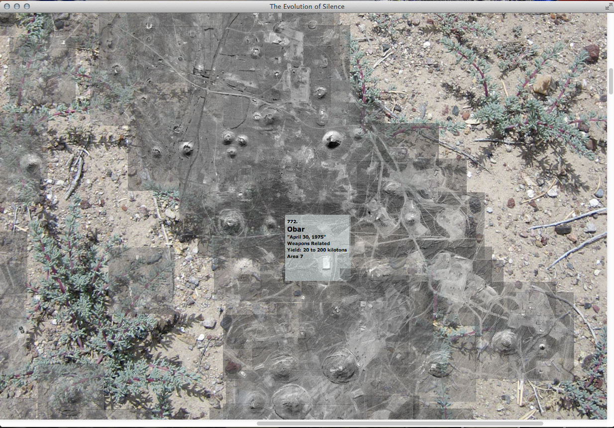
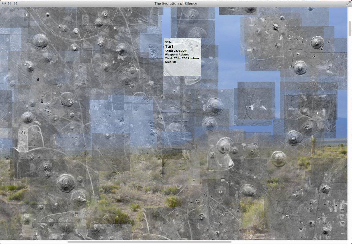
I finally finished mapping the sites of underground nuclear tests (still to map are the areas in which atmospheric testing took place). All underground nuclear explosions that took place in Yucca Flat are represented in this map. Individual images for each explosion at the exact site of their detonation are tiled together in (what became for me) a giant jigsaw puzzle, to form one aerial view of the valley.
Now in geographic relationship to one another, the hundreds of small images come together to give a better sense of scale and convey the character of the valley. The web-based archive will interpret their ‘x’ and ‘y’ position coordinates (taken from my finished tiled map). The archive dynamically builds the map again in real time online. Below are screen shots of the archive running from my local file. It was worth the time it took do the map.


