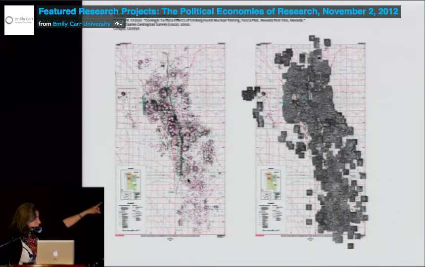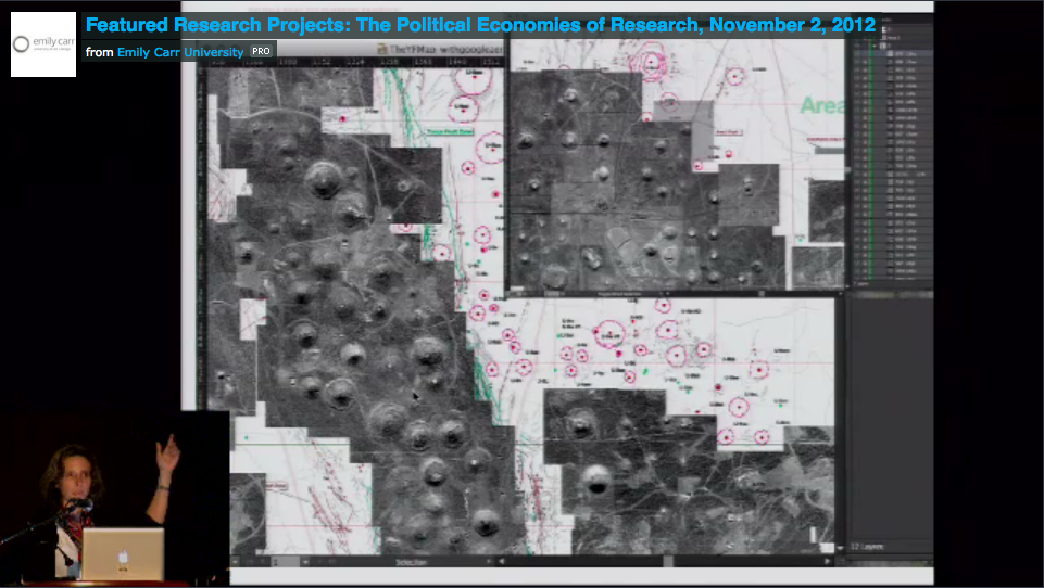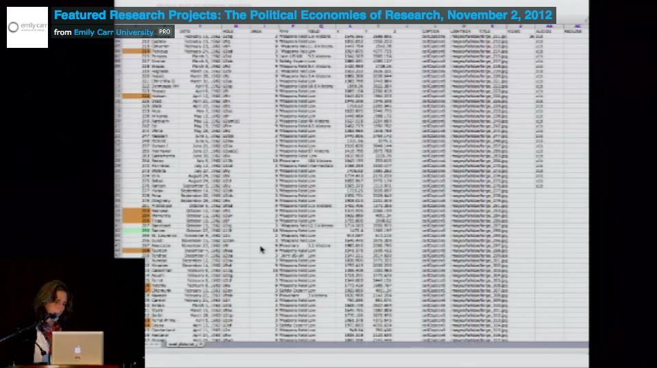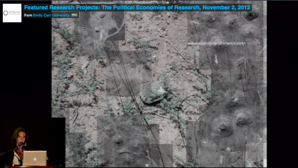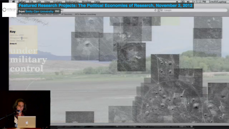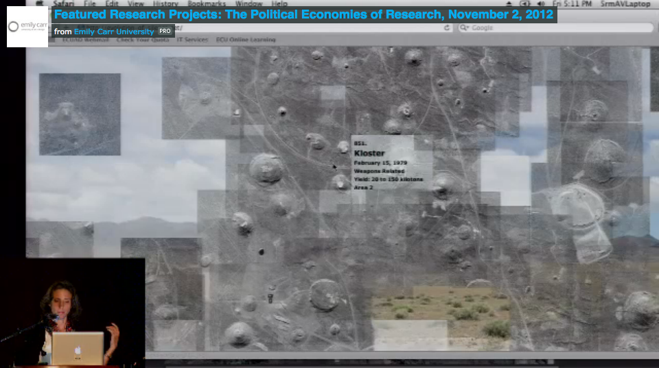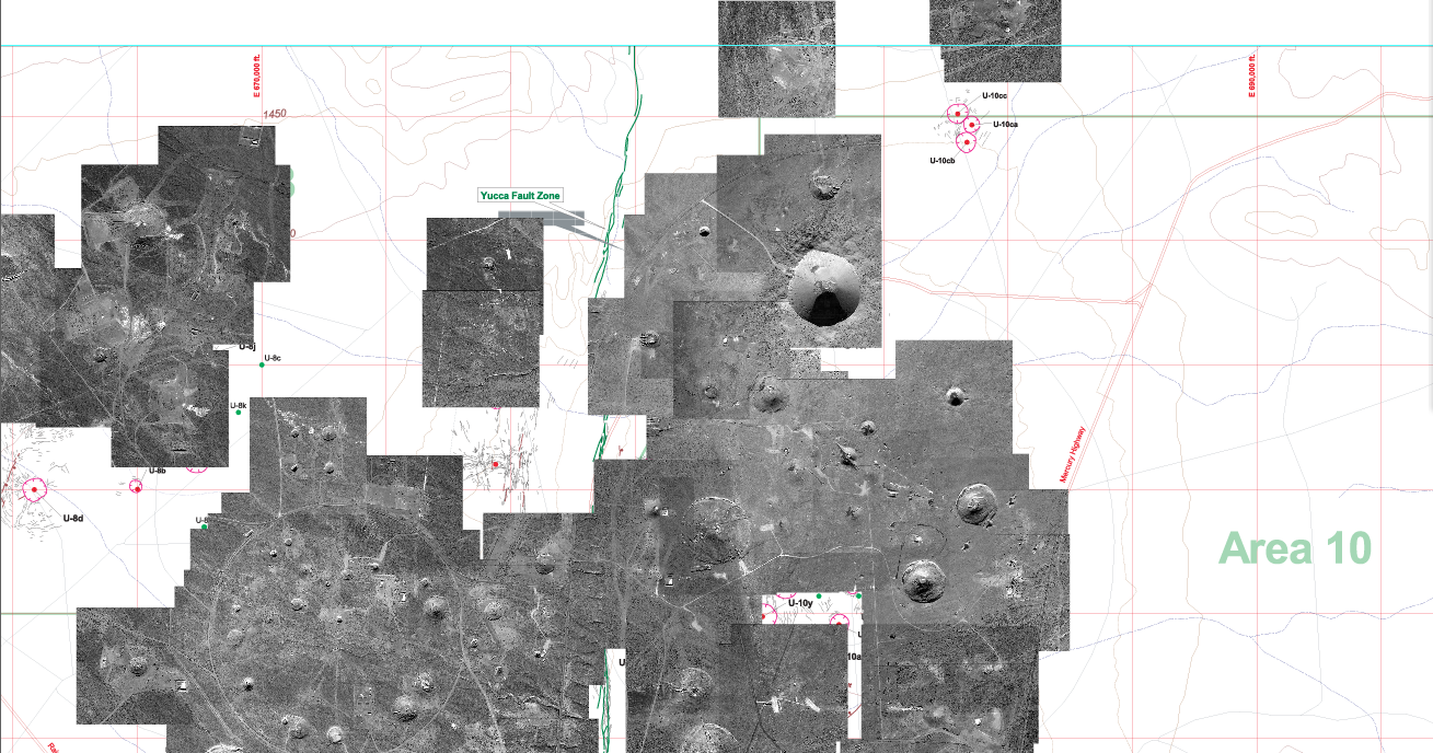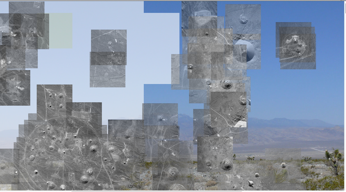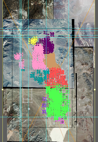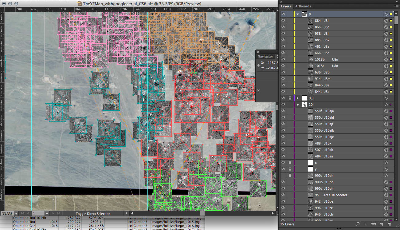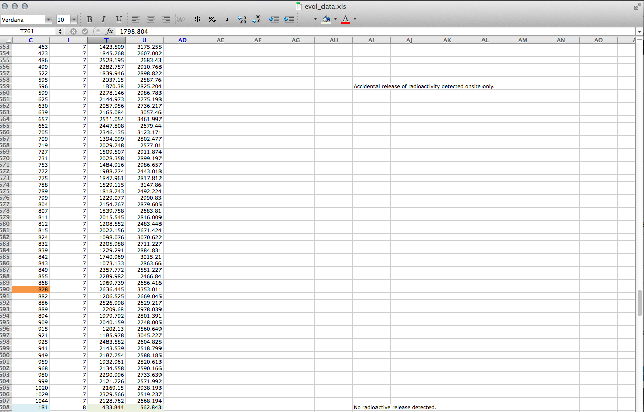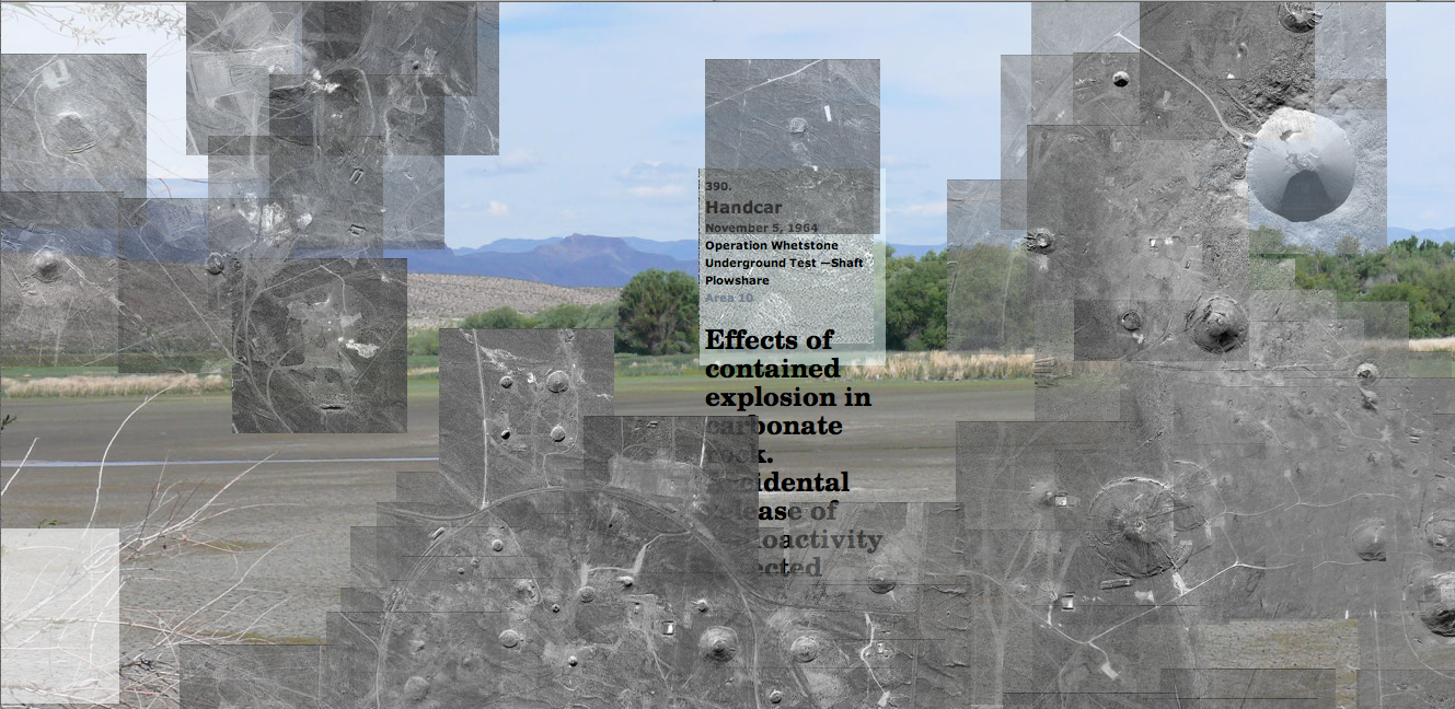
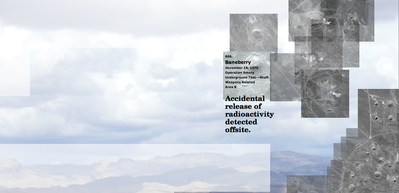
I finished fixing the coordinates last week, and now the images tile correctly to form a view of every single detonation in Yucca Flat. It is intentional that it is still fragmented, in order to make visually clear that in those areas of the valley no nuclear detonation occurred. These gaps in information are views through the accumulated image, and lead to more and more complex layering of image, text, video. My goals with these layers are to explore the valley over time, convey dynamics and scale, present the ruins of testing, and share documentation of the impact on people’s lives and the environment. At the moment, photographs from the Desert Wildlife Range and the surrounding areas of the Nevada Test Site are visible.
My plans for Part One (the web-based part):
1. Create a scale that shows proportion and relates the images of detonations to geography.
2. Create more complex and transforming soundscapes.
3. Connect sounds to each detonation that convey their yield or detonation type, or some other attribute.
4. Explore CSS animations to convey yield of detonation.
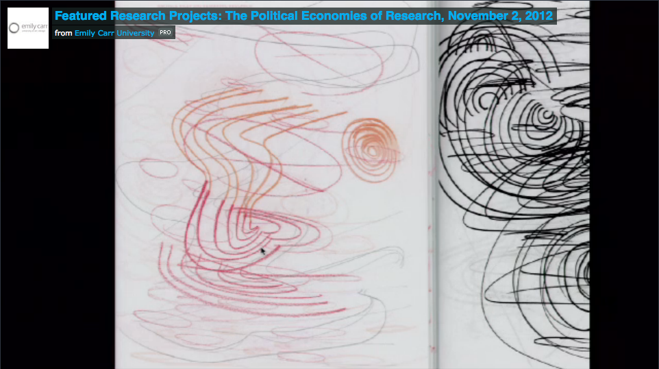
5. Create more drawings and expressive scans to incorporate as hover captions to detonation images.
6. Create captions that load dynamically for the lightbox images.
7. Animate vector drawings to convey impact and yield of detonation.
8. Create a toggle option to view the project organized by time continuum or by location (currently it is a combination: the atmospheric tests are organized by time and the underground tests by location).
9. Create a text list of every detonation as a way to emphasize the naming of tests and to help viewers locate detonations in the tiling.
10. Create search function so that a viewer’s entry point could be a date, or a name, or an Area of the valley. Currently one travels from most northern part of the valley and heads South.
11. Create a system for showing how the viewer is navigating North, South, East, West.
12. Incorporate other archival research:
USGS photographs of detonation sites (before and after)
images of atmospheric tests from the National Archives
images of mannequins being dressed and set in houses
images of mannequins from the JC Penney advertisement (before and after)
images newspaper articles on the mannequins and other tests
images of houses, cars, furniture, food items, roof tiles, paint samples, animals tested
transcript (or recordings): for example of Baneberry trial
images of protests
images of ephemera and printed material
transcripts of oral histories
notes from two Nevada Test Site tours
13. Create a participatory interface in which viewers can submit their own interpretations or repsonses to form a layer on the site.
Part Two, as you may remember from earlier introductory posts, is to extend the website into an exhibition. I am hoping to have more time soon to design a proposal and to research ways to translate interactivity for the web into an interactive physical environment.

