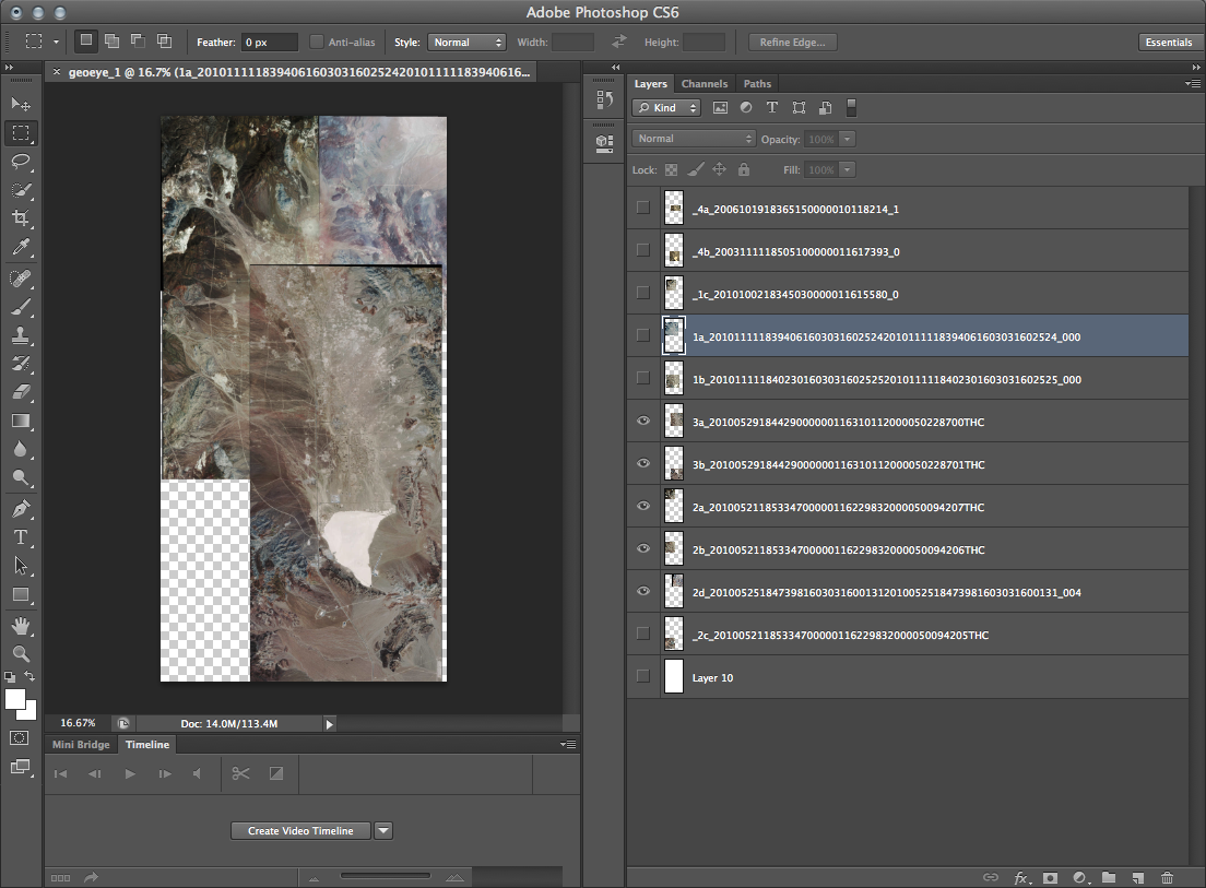
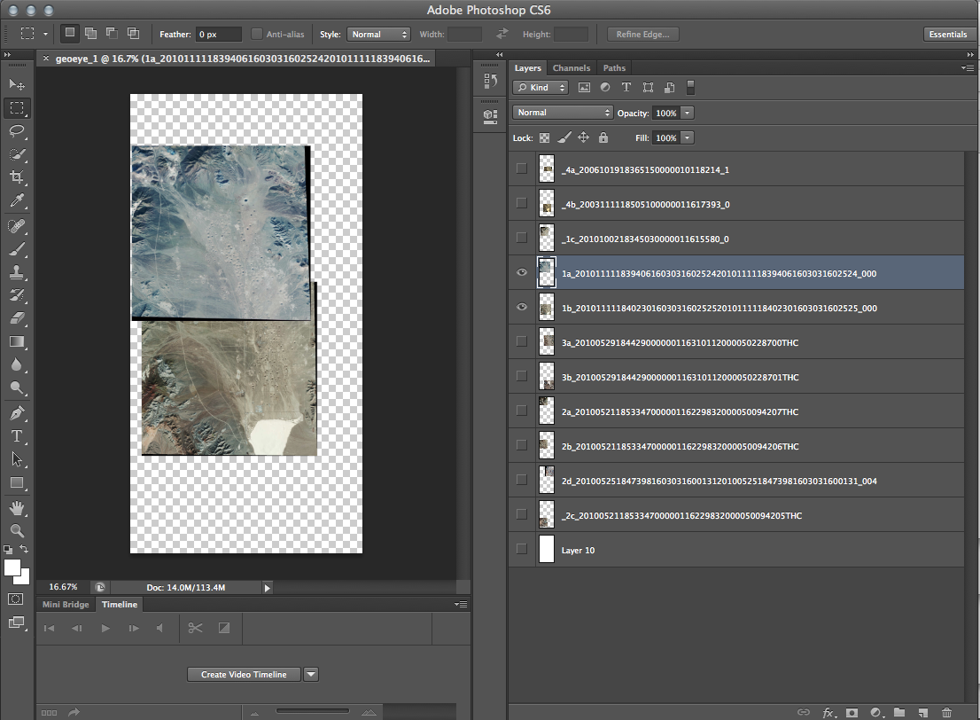
I applied for a GeoEye Foundation Imagery Grant last month. The Foundation ‘provides satellite imagery grants to support research projects at the university level and within non-governmental organizations.’ (geoeye.com). The committee has expressed interest in my research and has asked me to revise my list of images. (I had requested more than they normally award.) I am able to submit a request for a maximum of seven images. It was much harder than I thought it would be to choose which images will work best for my project and for all the ways I hope to extend it. After narrowing down the original list to about eleven, I tiled the individual images to see which would best together. I am requesting the two sets below, a total of seven images.
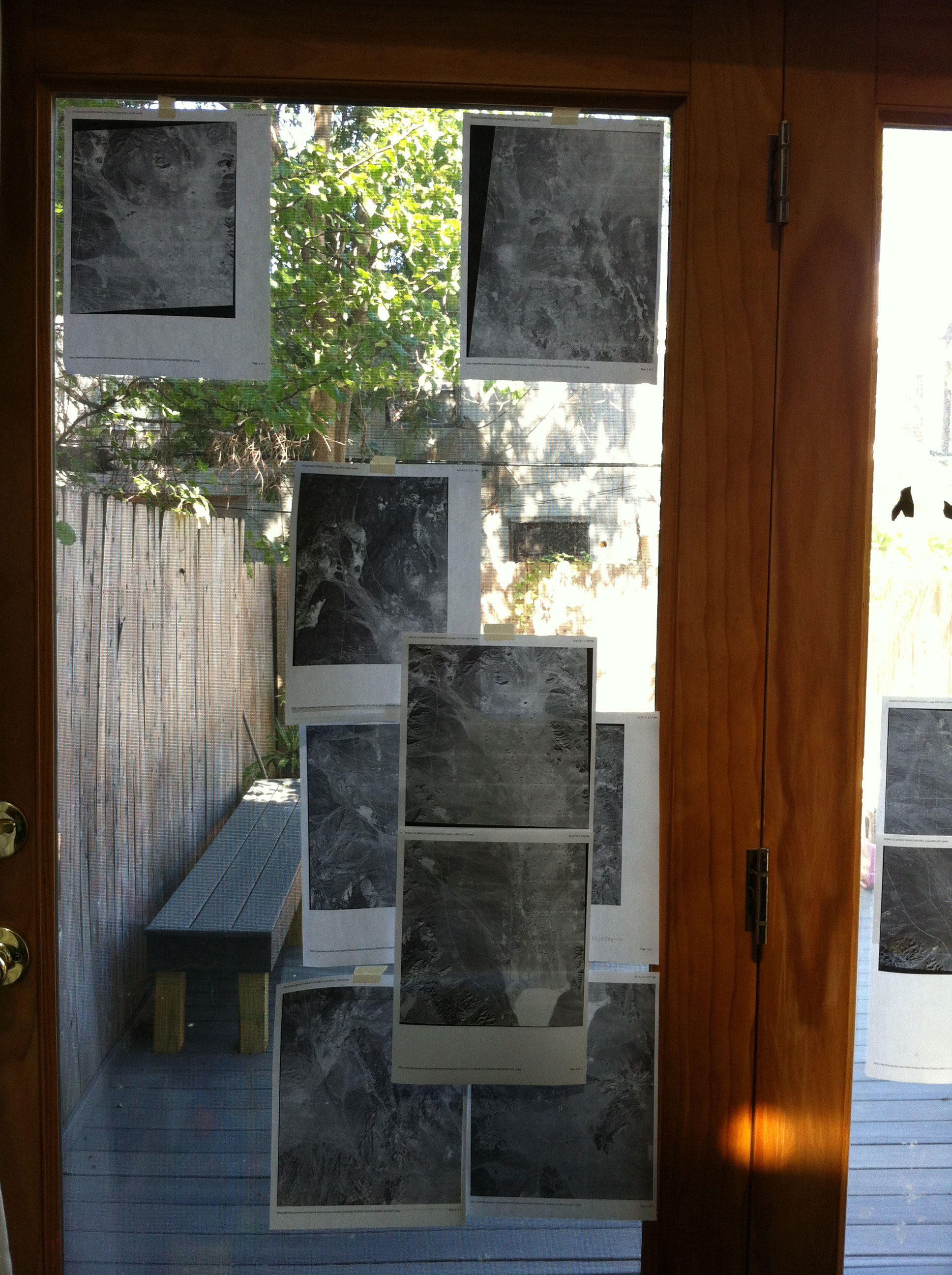
I roughly tiled the images on my door ‘wall’ as well.
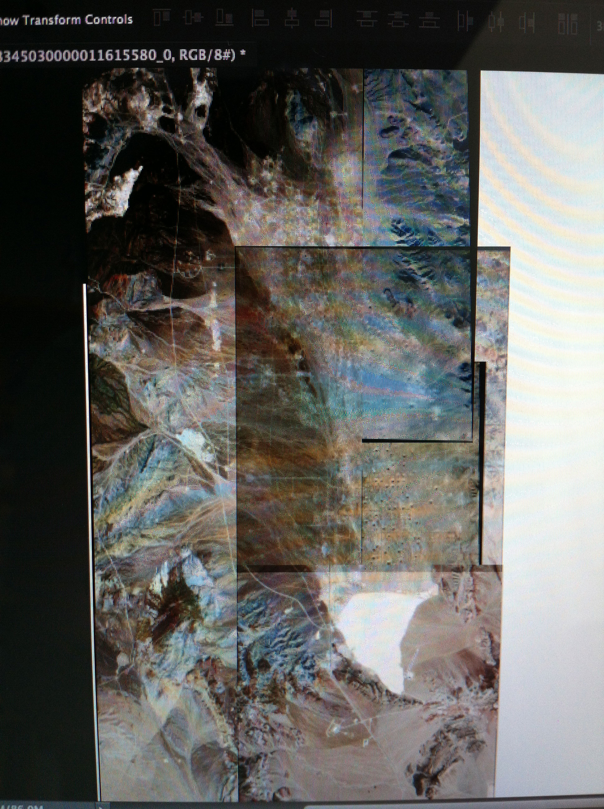
Several of the images I was considering, layered.


