
This week I focused on my map. I am tiling the individual images of each detonation to form one view of Yucca Flat valley. Using the USGS map as a guide in identifying the craters, I determine the relative (x,y) positions for each image. I enter that information into my dataset. The web-based archive is designed to pull dynamically from that data file. The map will build itself as it loads online and allow the viewer to interact with each detonation separately.
Monthly Archives: September 2012

Identifying images for a GeoEye Foundation Imagery Grant.
I applied for a GeoEye Foundation Imagery Grant last month. The Foundation ‘provides satellite imagery grants to support research projects at the university level and within non-governmental organizations.’ (geoeye.com). The committee has expressed interest in my research and has asked me to revise my list of images. (I had requested more than they normally award.) I am able to submit a request for a maximum of seven images. It was much harder than I thought it would be to choose which images will work best for my project and for all the ways I hope to extend it. After narrowing down the original list to about eleven, I tiled the individual images to see which would best together. I am requesting the two sets below, a total of seven images. Continue reading
Mannequins, selected sun prints.
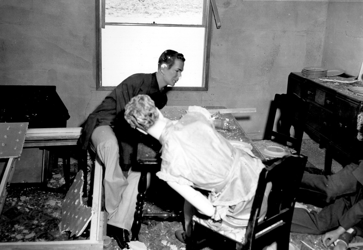
Here are a few of the sun prints that I made last week. There is one print for each of the fifty L.A. Darling Co. mannequins used in the March 17, 1953 Annie Test at Yucca Flat. I am investigating ways to represent damage, disappearance, shadow, and trace, as well as a feeling of irradiation.

Mannequin sun prints, the process shots.

The first group of cut-outs in the sunshine. Some prints are scenarios of characters and others are single silhouettes. The compositions are created by overlapping the shapes, shifting their orientation to the light, positioning them at different degrees of contact to the paper, and making multiple exposures. Continue reading
Researching the L.A. Darling Co. Mannequins.
The project also reveals and memorializes the role that display mannequins played in the Civil Defense program. Representing human subjects, they experienced the force of nuclear explosions in the 1950s. I have been researching their involvement and trying to determine their whereabouts. Their story offers compelling historical perspective on the cultural view of the atomic bomb. The mannequins offer a formal counterpoint to the abstraction of the craters and point to the human cost of war. (Image courtesy of the Nevada Test Site Historical Foundation.)
Drawings of exaggerated drill bits and coaxial cable lines.


Mapping for the web-based archive, the beginning.
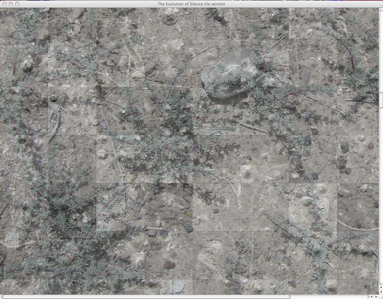
This is a screen shot sketch of the web-based map in which the detonations are organized initially by time (grid view) layered onto a photograph of the desert ground surface. It presents the sites as fragments of a landscape.
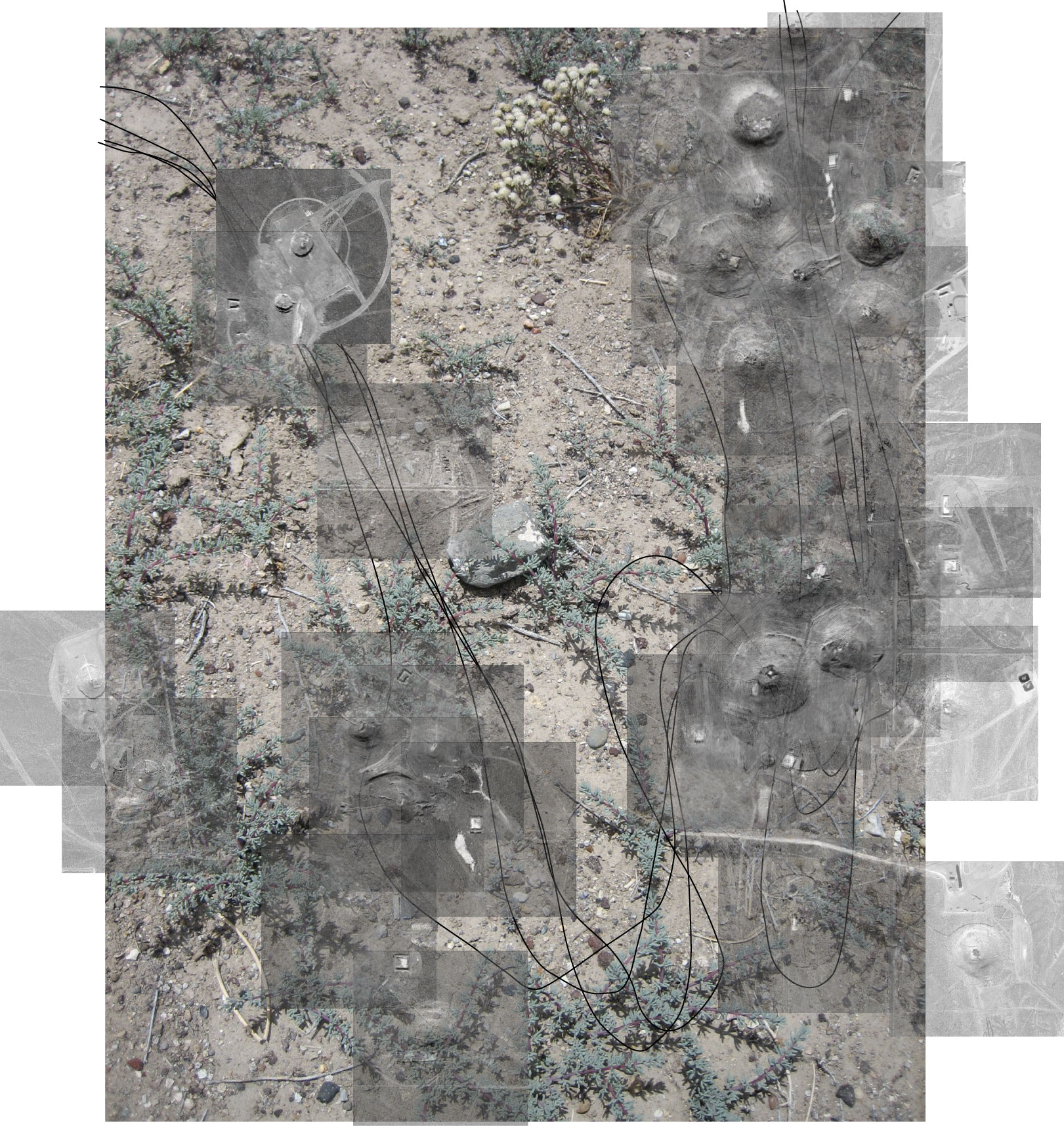
I am working to create an alternate view which will present a relational view of the detonation sites. Below is a sketch from my storyboard.
An Introduction to The Evolution of Silence.
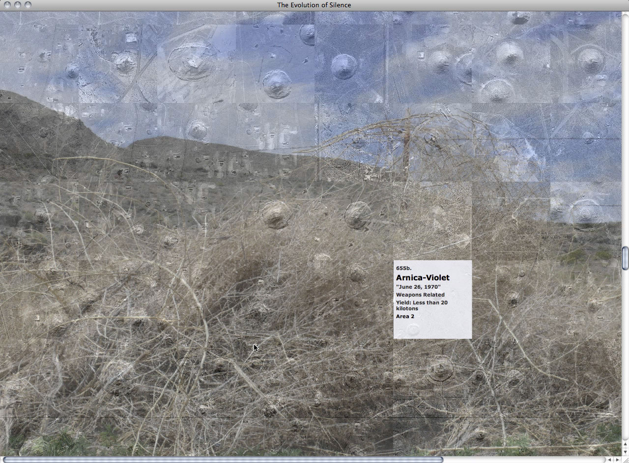
An exploration of memory and destruction, ‘The Evolution of Silence’ is a multi-dimensional project that encompasses drawing, interactive design, mapping, printmaking, and installation. It is a creative investigation into the dramatic transformation of the Yucca Flat valley of the Nevada Test Site (Nevada National Security Site)—the site of experimental, post-World War II nuclear detonations.
I am creating a web-based archive, installation, and publication that present an exploration of a restricted landscape, and a visual mapping and interpretation of its destruction. ‘The Evolution of Silence’ allows one to bypass government boundaries and control of the area, making it possible for any individual to experience a cold war’s aftermath and silence. Continue reading