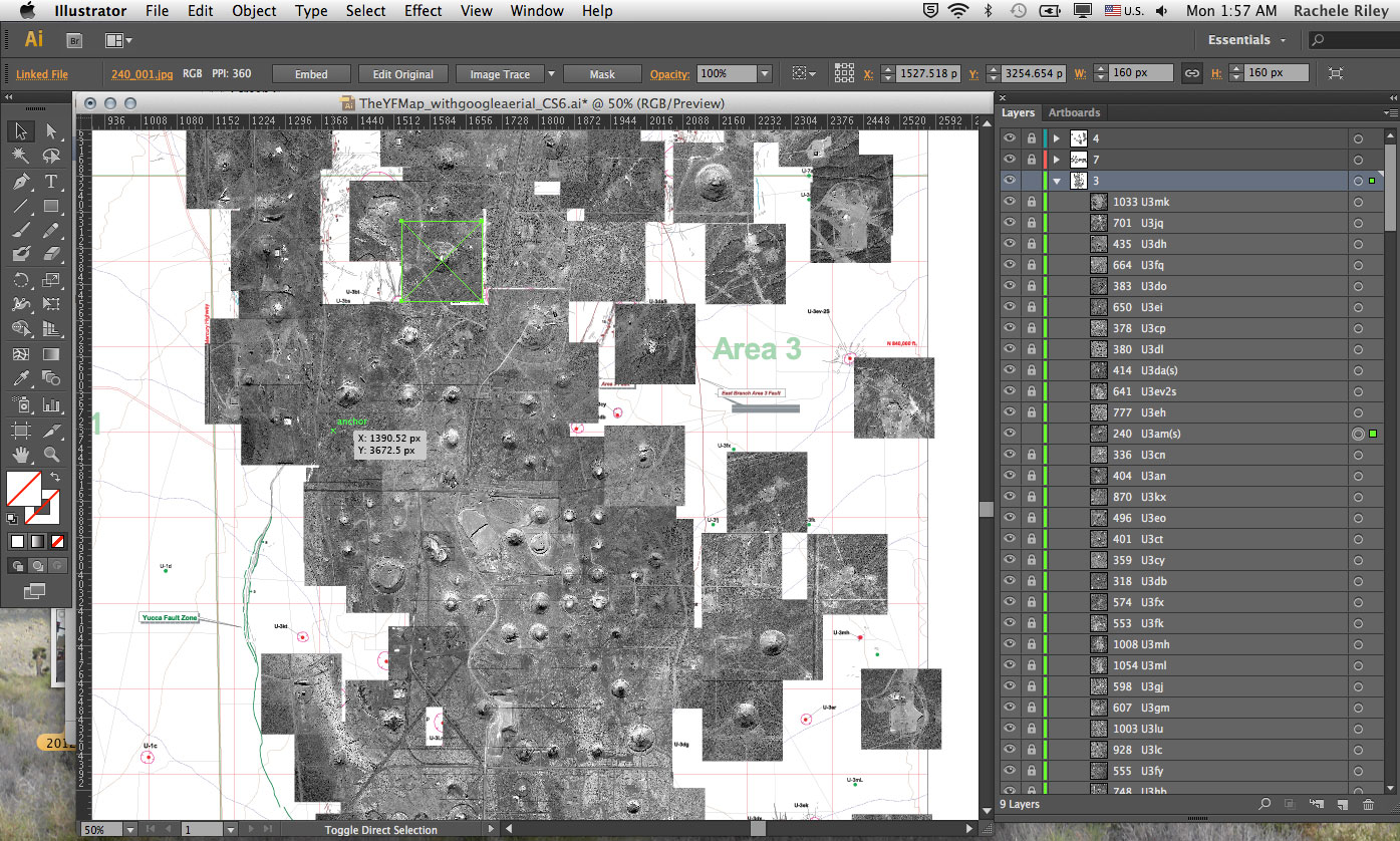
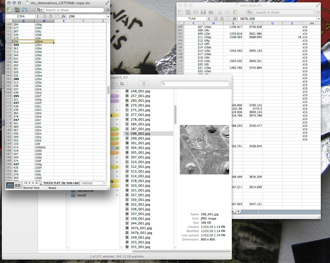
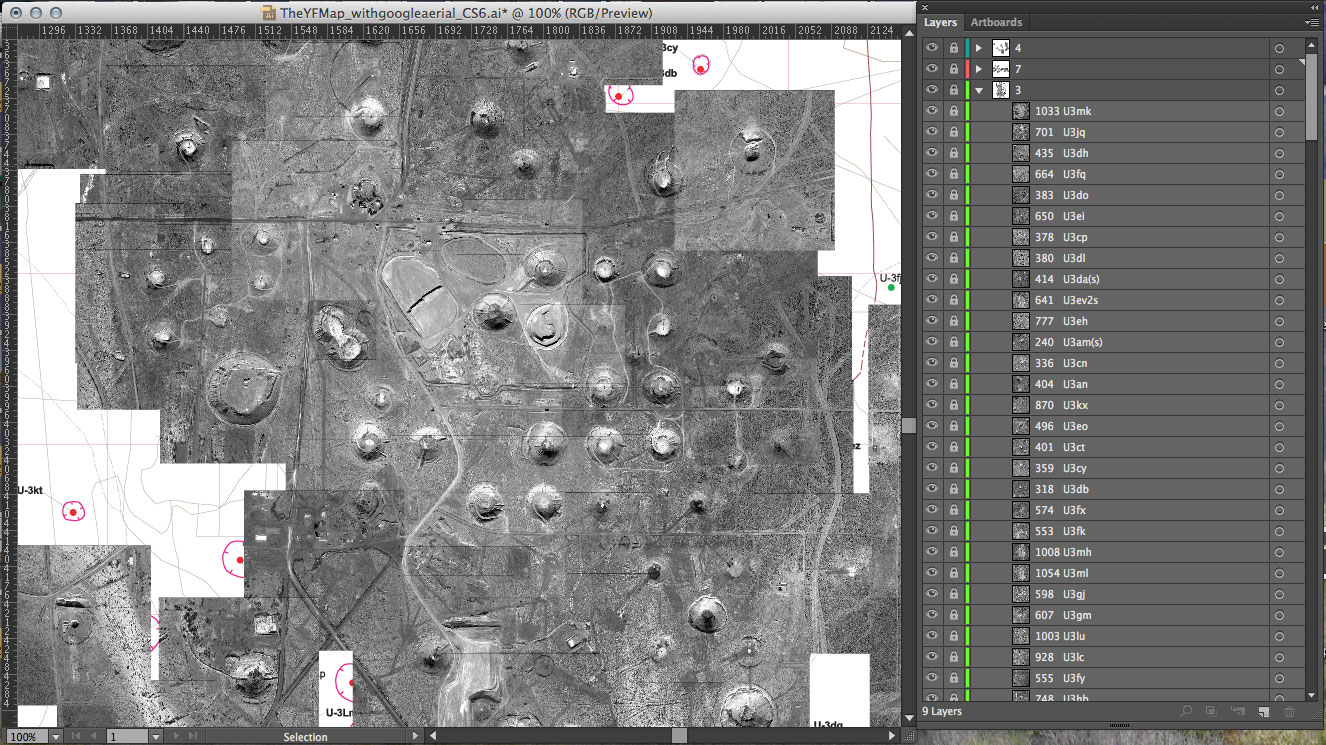
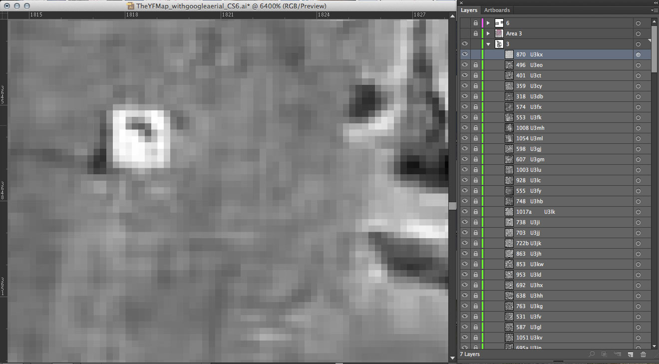
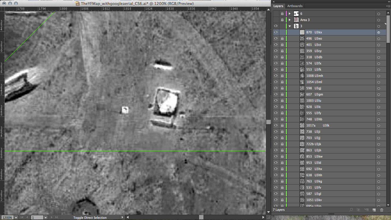
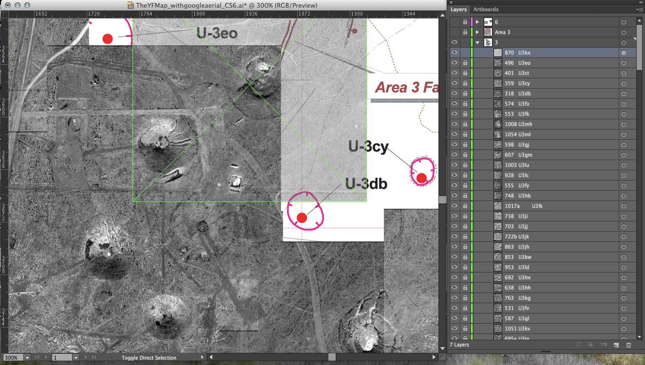
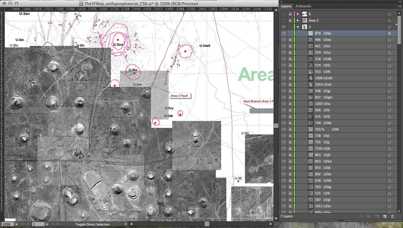
This week I focused on my map. I am tiling the individual images of each detonation to form one view of Yucca Flat valley. Using the USGS map as a guide in identifying the craters, I determine the relative (x,y) positions for each image. I enter that information into my dataset. The web-based archive is designed to pull dynamically from that data file. The map will build itself as it loads online and allow the viewer to interact with each detonation separately.
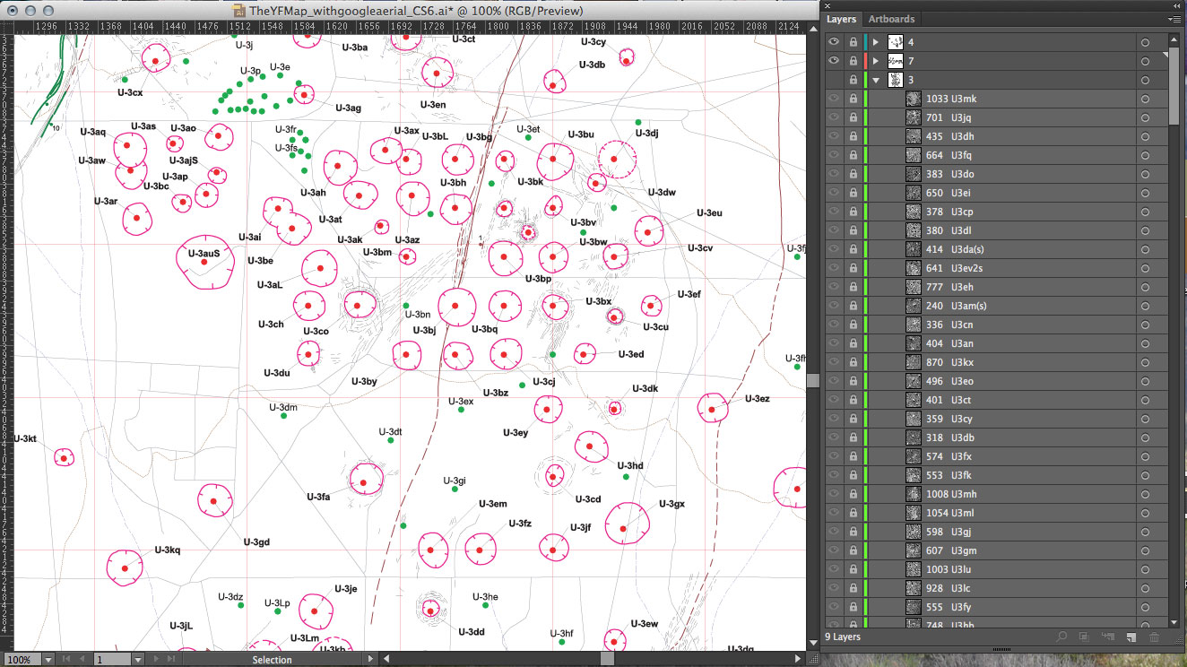
USGS map used (detail shown below): Dennis N. Grasso. “Geologic Surface Effects of Underground Nuclear Testing, Yucca Flat, Nevada Test Site, Nevada.” United States Geological Survey. 2000.
The full map in progress. Once I finish the straightforward aspect of this mapping, I can explore ways to include the one hundred detonations that occurred above ground in Yucca Flat. For these atmospheric tests, no bore holes or surface effects exist, and also no exact coordinates in the Department of Energy data.

