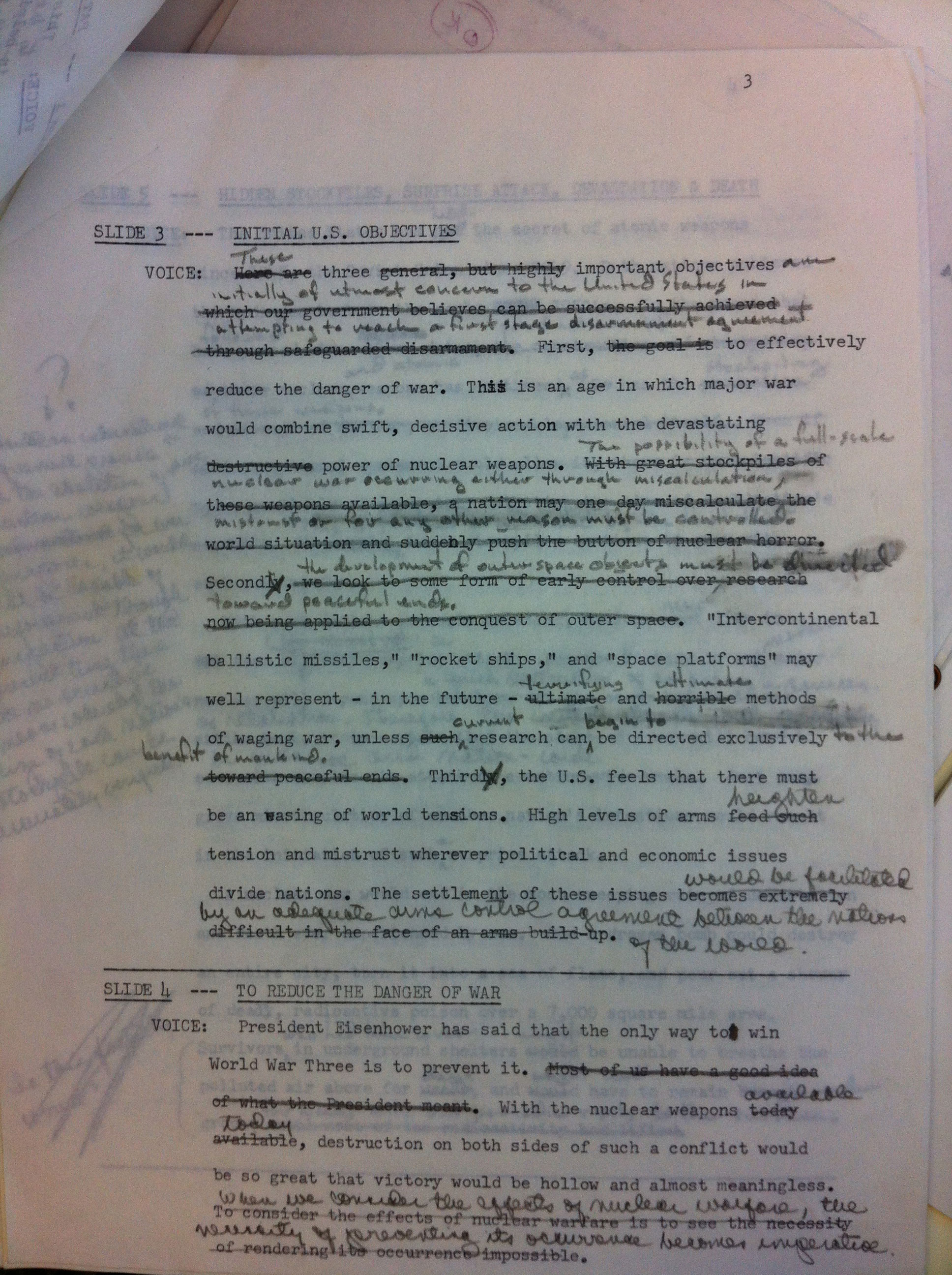
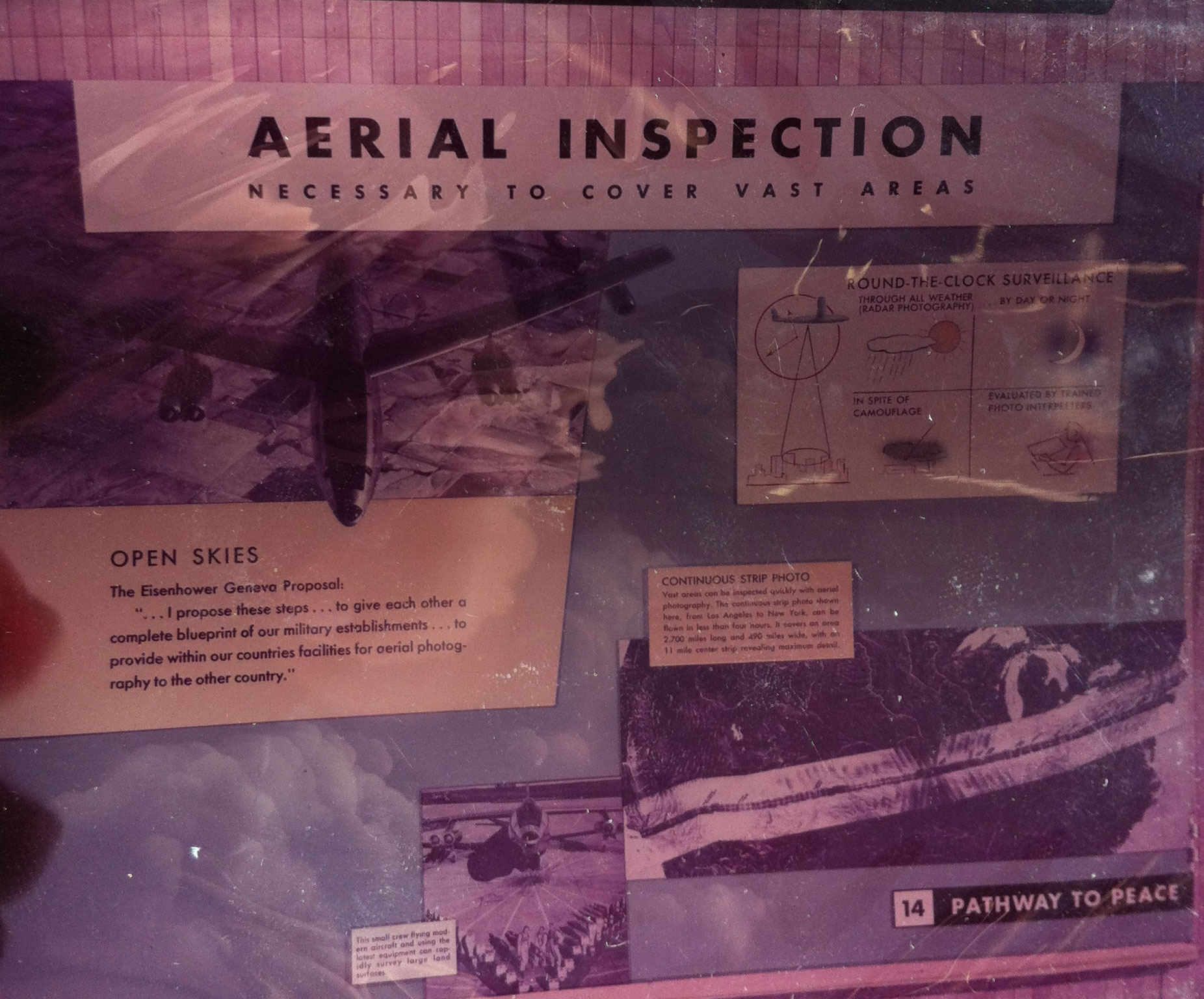
Looking through the declassified military files entitled ‘General Records Relating to Disarmament, compiled 1948–1962,’ I came upon two interesting exhibition projects. There were two folders dedicated to the ‘Pathway for Peace’ exhibit, which, from what I could tell, was a presentation to the United Nations (given by the U.S.). It then traveled around the country as a means to educate Americans on a changing attitude toward the U.S. nuclear program. There were twenty color positive reproductions of the exhibit panels, designed by The Displayers from year 1957. There were also several printed versions of a lecture text that accompanied the slide presentation, marked with editorial comments. I made a copy of the final text. I plan to record it and incorporate it into the project.
(Images courtesy of the U.S. National Archives and Records Administration)


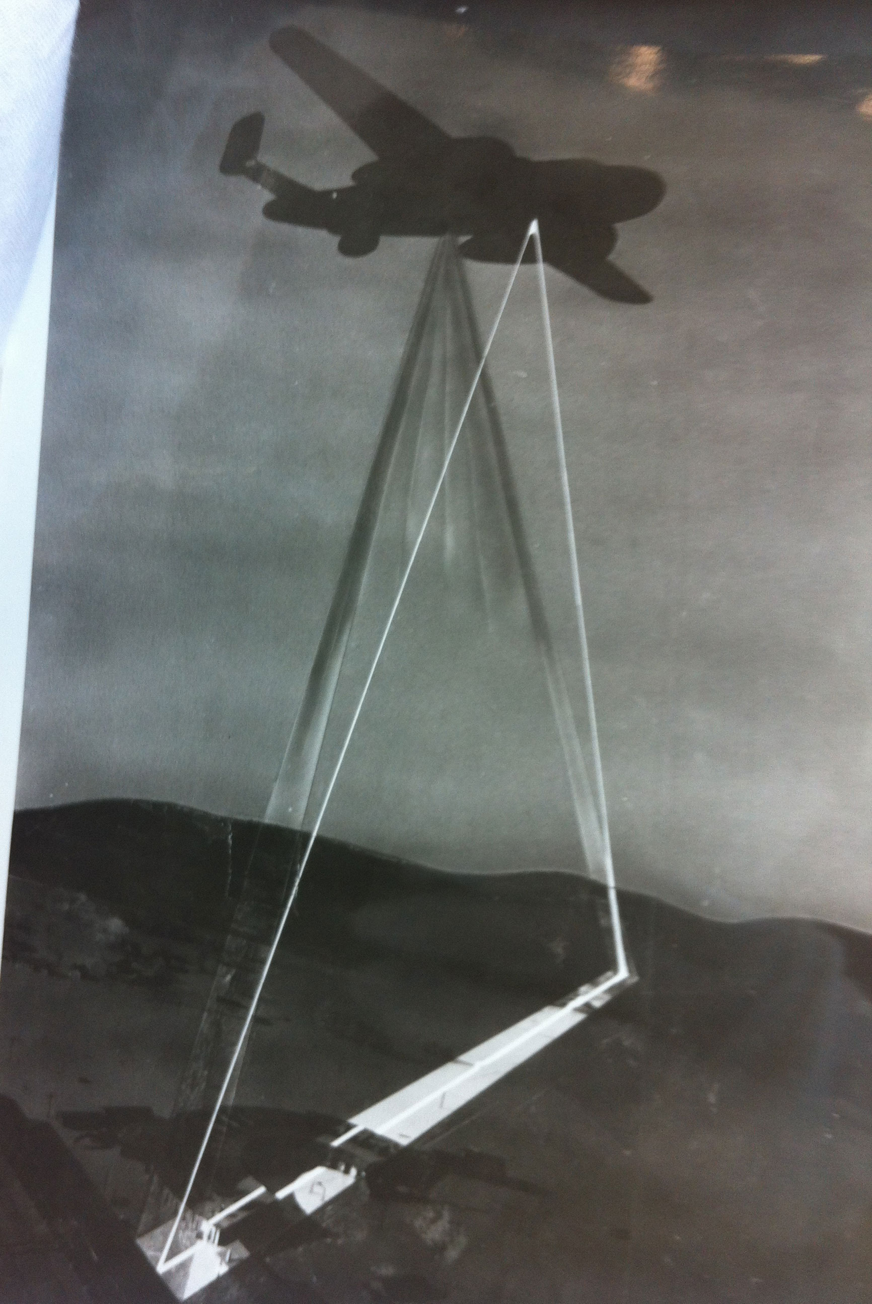
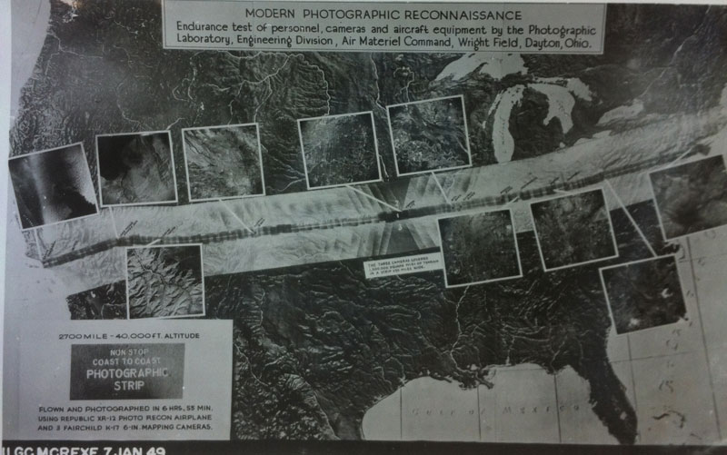
The third folder in the box was a collection of material that explained technical advances in aerial photography and the role of reconnaissance in inspection. There were a few aerial photographs of the U.S. (not one of Yucca Flat unfortunately, but more on that later) and diagrams of airplanes outfitted to capture images of the landscape in a continuous strip, as the plane travels. In light of my recent Imagery Grant from the GeoEye Foundation and the way I am using satellite images in my project to bypass restrictions, I realize that our desire to see the world from above and to make use of that information has only intensified.

