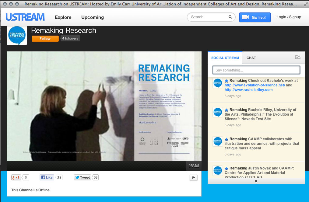
Project featured at ‘Remaking Research’ Symposium.

I just returned from presenting my work and research on ‘The Evolution of Silence’ at ‘Remaking Research: Emerging Research Practices in Art and Design.’ The AICAD symposium, hosted by the Emily Carr University of Art and Design in Vancouver, Canada, was held from November 1–3, 2012. You can view the full lineup of presenters and the symposium schedule here.

I was invited to present under the theme ‘The Political Economies of Research’ in the ‘Featured Research Projects’ section.

Remaking Research showcased Featured Research Projects from more than 15 institutions engaged in creative research.

Selected projects were shared in two ways: short, ten-minute presentations that allowed for a sharing of process, or as part of a public exhibition in Emily Carr’s Concourse Gallery from November 1–3, 2012.

Featured Research Project Presentations:
The Production of Knowledge in Art and Design
9:00 am, Friday, November 2, 2012
‘Reverse Engineering: Towards a Taxonomy of Art Practices,’ Adelheid Mers, School of the Art Institute of Chicago
‘Current Design Research Journal,’ Celeste Martin and Deborah Shackleton, Emily Carr University of Art + Design
‘Pratt’s Laboratory for Scientific Study of Art,’ Cindie Kehlet, Pratt Institute
‘Digital Ceramics Archive Research,’ Paul Mathieu, Emily Carr University of Art + Design
‘The Single Most Important Criterion for Reconfiguring Research Theory and Practice in the 21st Century,’ Anne-Marie Oliver, Barry Sanders, and Marie-Pierre Hasne, The Pacific Northwest College of Art; the University of California, Santa Barbara; and Oregon Health & Science University
‘Wait a minute…,’ Gareth Jones, Rhode Island School of Design

The Political Economies of Research
4:30 pm, Friday, November 2, 2012
‘Reflections on Memory Marathon,’ Simon Pope, University of Oxford
‘Darwin,’ Justin Novak, Emily Carr University of Art + Design
‘The Evolution of Silence,’ Rachele Riley, The University of the Arts, Philadelphia
‘National Security Garden,’ Shannon McMullen and Fabian Winkler, Purdue University, Art and Design
‘Building Narratives: Installations for Transitional Space,’ Maria McVarish, California College of the Arts

Networked and Partnered Research
8:30 am, Saturday, November 3, 2012
‘e_Motion Research Lab,’ Barbara Rauch, OCAD University
‘The Artistic Animation of Research,’ Will Garrett Petts, Thompson Rivers University
‘Dialogue Between Business and Academia,’ Louise St. Pierre, Emily Carr University of Art + Design
‘CadLaboration,’ Matthew Hollern, Cleveland Institute of Art
‘Spandrel,’ Jesse Jackson, OCAD University
‘RAW DATA,’ Ingrid Koenig, Margit Schild and Elvira Hufschmid, Goethe Institut, TRIUMF, Emily Carr University of Art + Design

To read more about Emily Carr University and the research activity of faculty and students, click here.
Awarded an Imagery Grant from the GeoEye Foundation.

I am very pleased to announce that the GeoEye Foundation has approved my grant application. In August I submitted a proposal and request for several high resolution images of Yucca Flat for use in my project, not just for the archive online but for the ways I plan to extend the project as an exhibition.

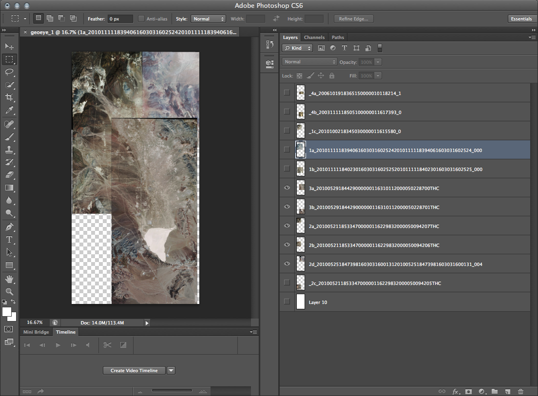
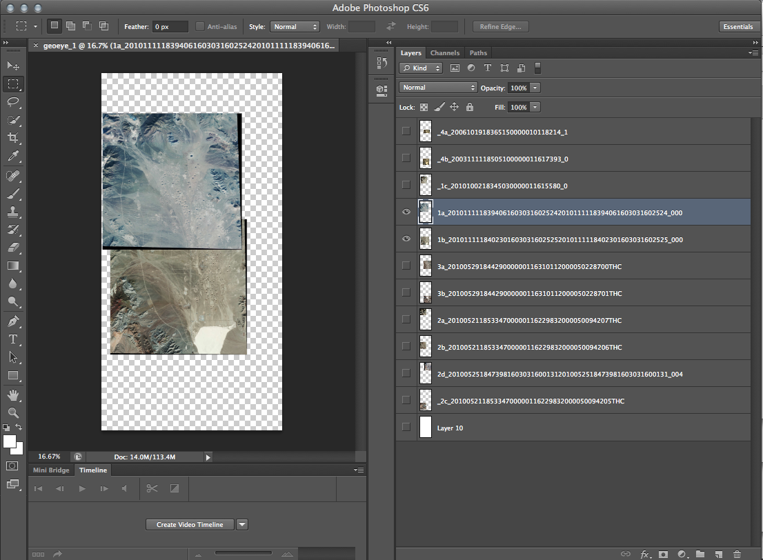
In an earlier post I described how difficult it was to narrow down my list of requested images to a recommended 5–7 images. The Foundation has generously awarded me six of those seven. Here are the images they gave me, roughly tiled together to show Yucca Flat valley. I can now make use of higher quality imagery (better than my web capture views) that provide much more detail of the landscape.

(Images courtesy of the GeoEye Foundation.)

About the GeoEye Foundation:
“The GeoEye Foundation is a not-for-profit philanthropic organization headquartered in Herndon, Virginia, focused on fostering the growth of the next generation of geospatial technology professionals. The Foundation provides satellite imagery to students, educational institutions and non-governmental organizations to advance research in numerous fields including human rights, defense and intelligence, public safety, healthcare, critical infrastructure, energy, environmental change and archeology. The Foundation believes that through observation comes awareness, and from awareness comes action.

The Vision of the GeoEye Foundation is to foster the growth of the next generation of users who apply geospatial technology in diverse and innovative ways to meet local, national and global challenges, and help improve the lives of individuals around the world.” (GeoEye Foundation)

If you would like to read more about other recipients of this kind of grant, click here.

If you are interested in how geospatial technology and mapping is used by the government and industry, and have also always wondered how satellite imagery is created, check out GeoEye’s video gallery.

(Video still from an animation at GeoEye.com.)

A mapping of all underground detonations in Yucca Flat.

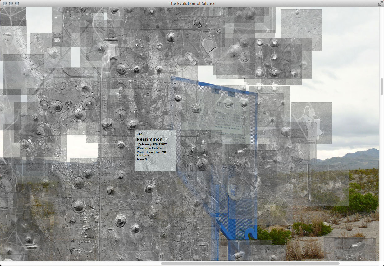
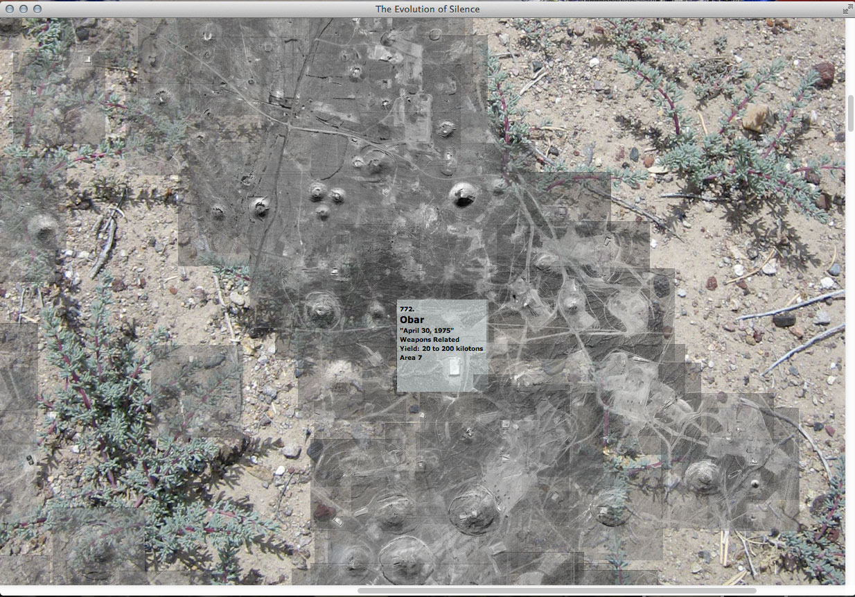
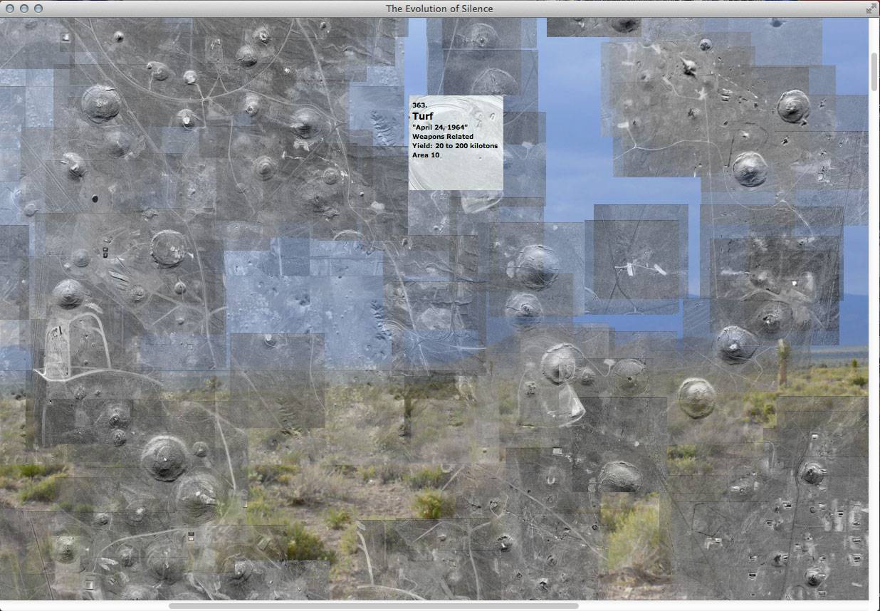
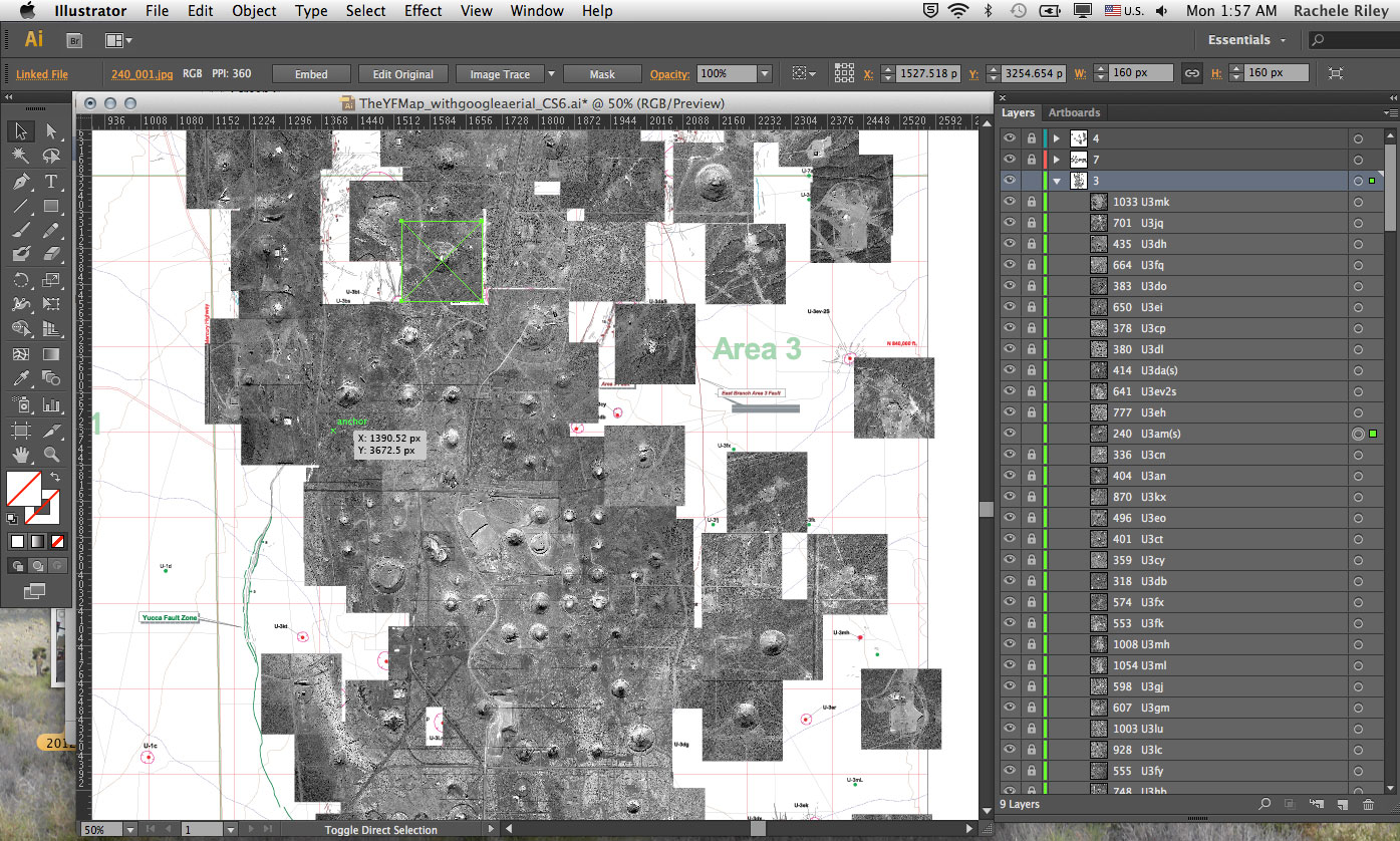
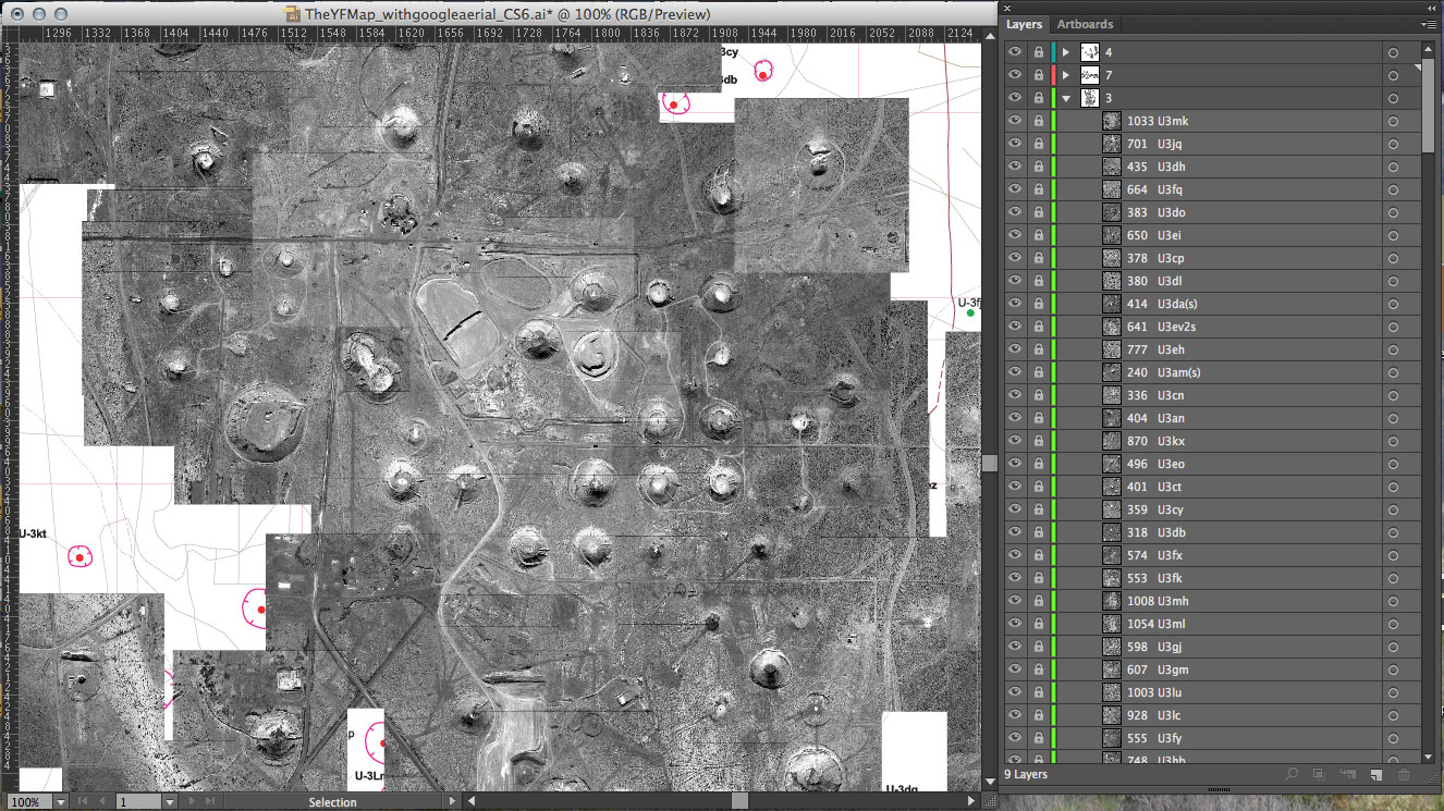
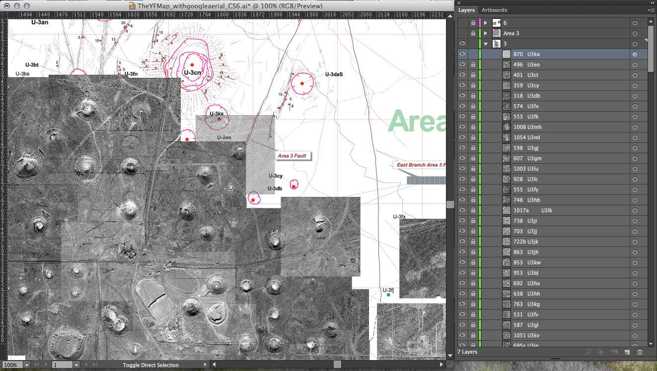
I finally finished mapping the sites of underground nuclear tests (still to map are the areas in which atmospheric testing took place). All underground nuclear explosions that took place in Yucca Flat are represented in this map. Individual images for each explosion at the exact site of their detonation are tiled together in (what became for me) a giant jigsaw puzzle, to form one aerial view of the valley.

Now in geographic relationship to one another, the hundreds of small images come together to give a better sense of scale and convey the character of the valley. The web-based archive will interpret their ‘x’ and ‘y’ position coordinates (taken from my finished tiled map). The archive dynamically builds the map again in real time online. Below are screen shots of the archive running from my local file. It was worth the time it took do the map.

Mapping every detonation in Yucca Flat.

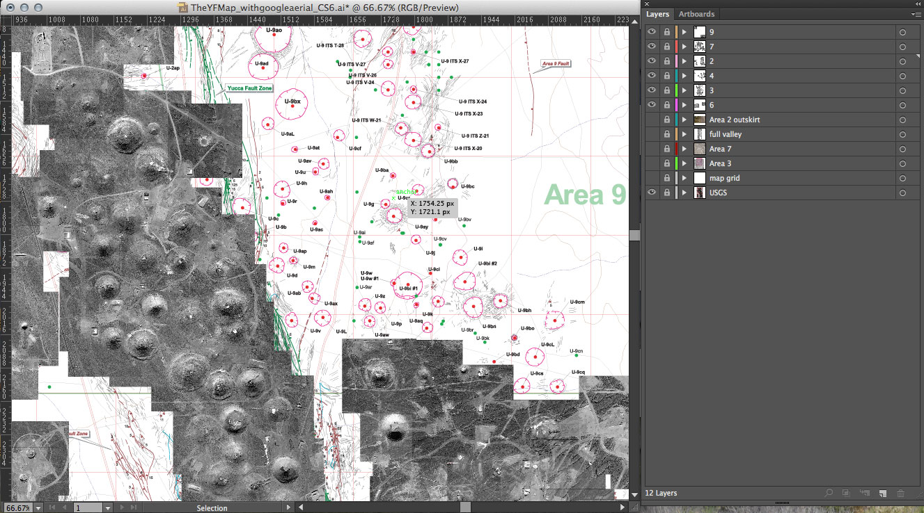
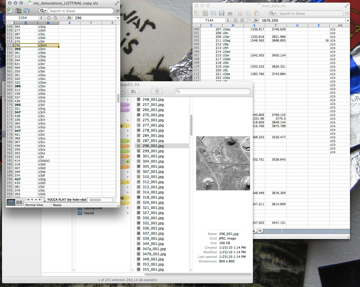
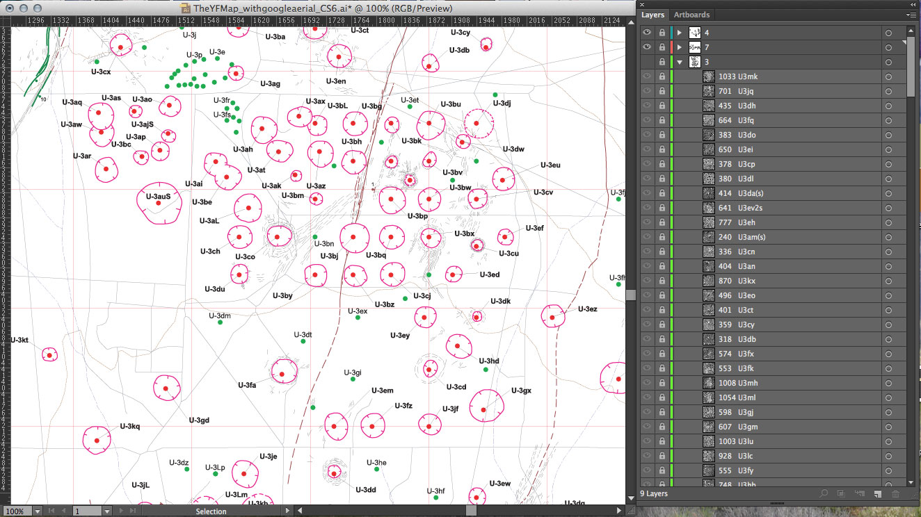
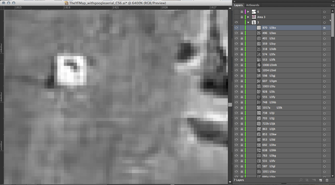
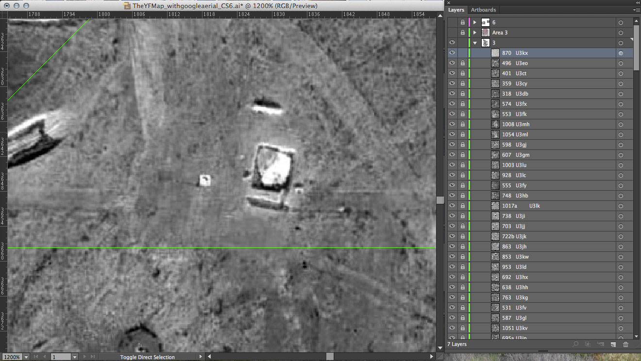
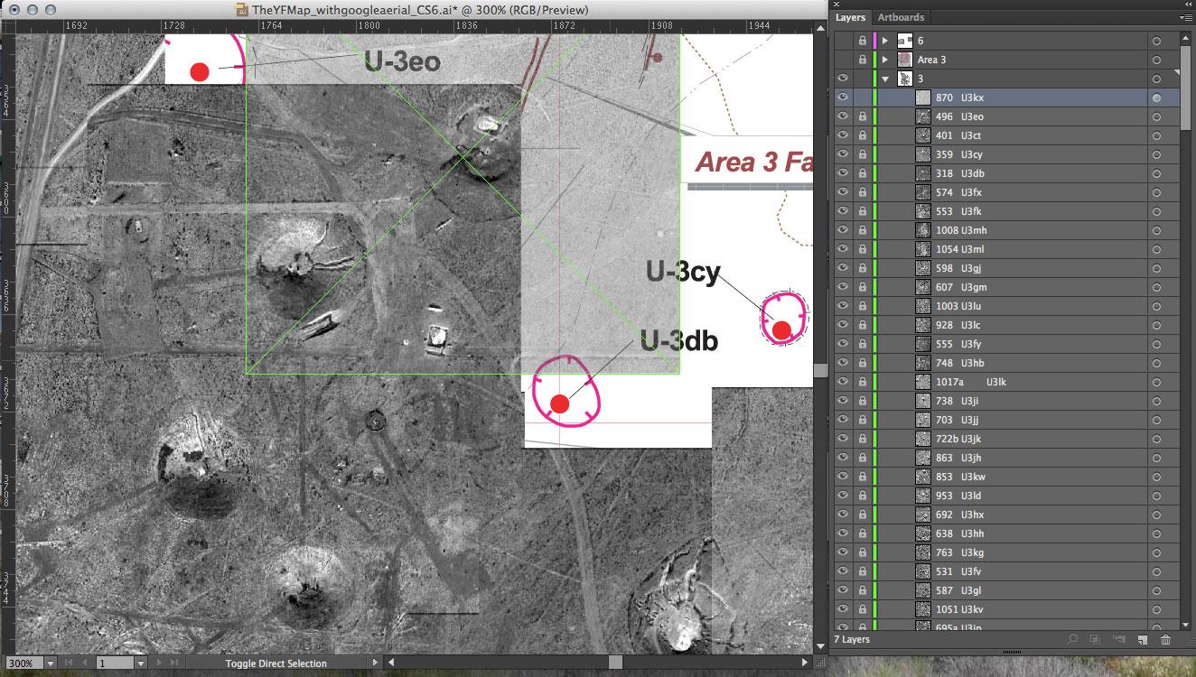
This week I focused on my map. I am tiling the individual images of each detonation to form one view of Yucca Flat valley. Using the USGS map as a guide in identifying the craters, I determine the relative (x,y) positions for each image. I enter that information into my dataset. The web-based archive is designed to pull dynamically from that data file. The map will build itself as it loads online and allow the viewer to interact with each detonation separately.

USGS map used (detail shown below): Dennis N. Grasso. “Geologic Surface Effects of Underground Nuclear Testing, Yucca Flat, Nevada Test Site, Nevada.” United States Geological Survey. 2000.

The full map in progress. Once I finish the straightforward aspect of this mapping, I can explore ways to include the one hundred detonations that occurred above ground in Yucca Flat. For these atmospheric tests, no bore holes or surface effects exist, and also no exact coordinates in the Department of Energy data.

Identifying images for a GeoEye Foundation Imagery Grant.

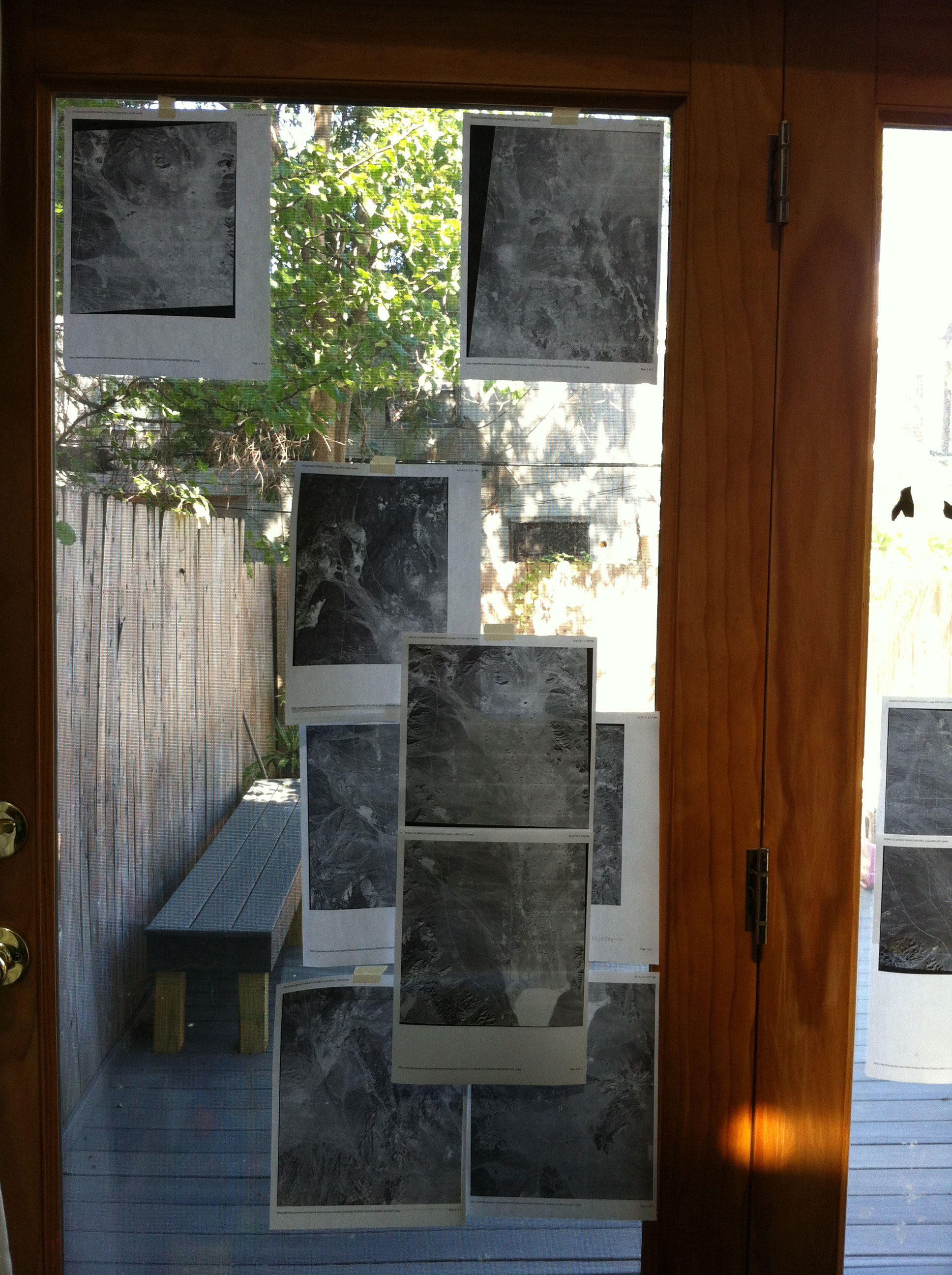
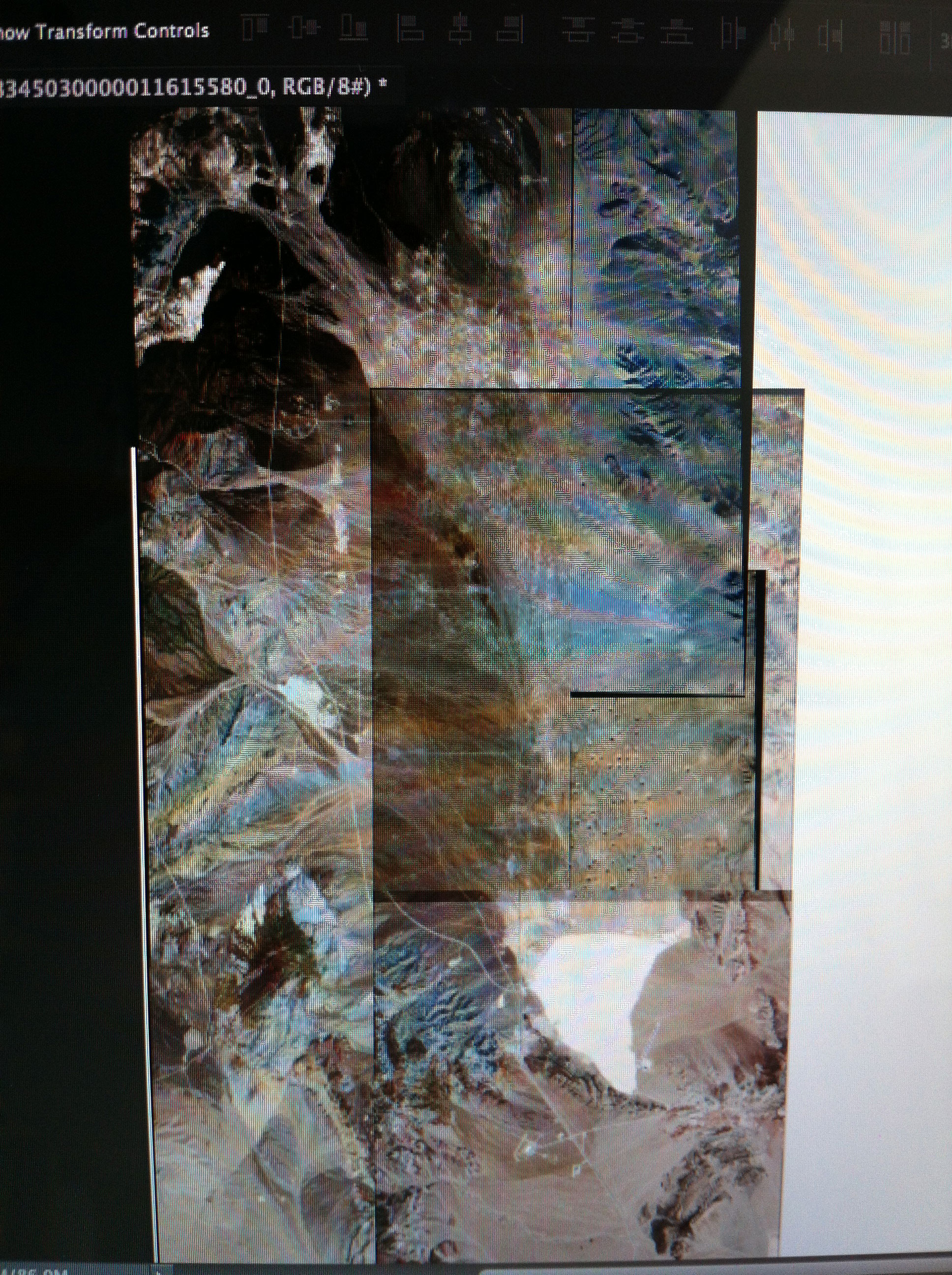
I applied for a GeoEye Foundation Imagery Grant last month. The Foundation ‘provides satellite imagery grants to support research projects at the university level and within non-governmental organizations.’ (geoeye.com). The committee has expressed interest in my research and has asked me to revise my list of images. (I had requested more than they normally award.) I am able to submit a request for a maximum of seven images. It was much harder than I thought it would be to choose which images will work best for my project and for all the ways I hope to extend it. After narrowing down the original list to about eleven, I tiled the individual images to see which would best together. I am requesting the two sets below, a total of seven images.

I roughly tiled the images on my door ‘wall’ as well.

Several of the images I was considering, layered.

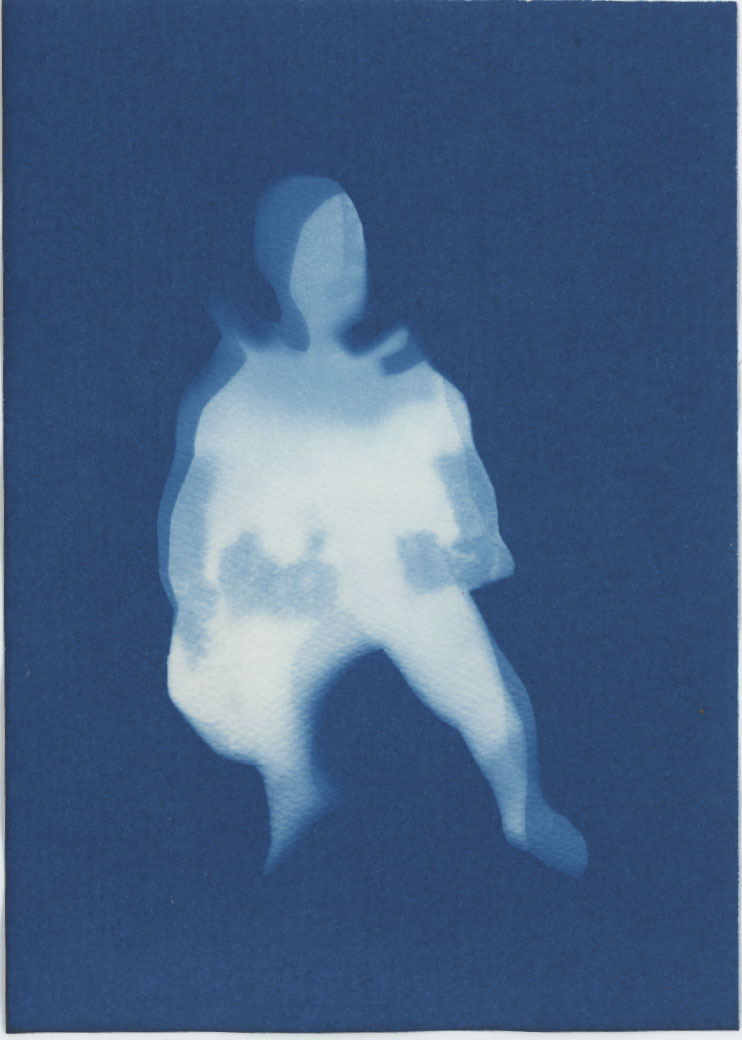
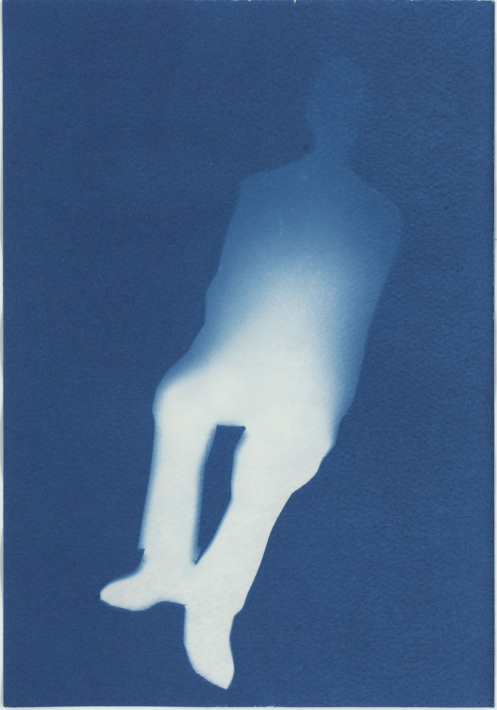
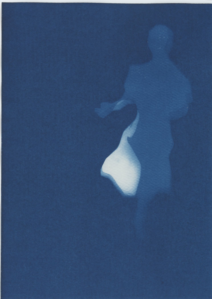
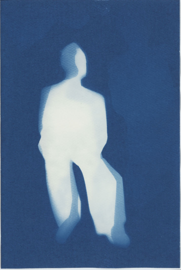
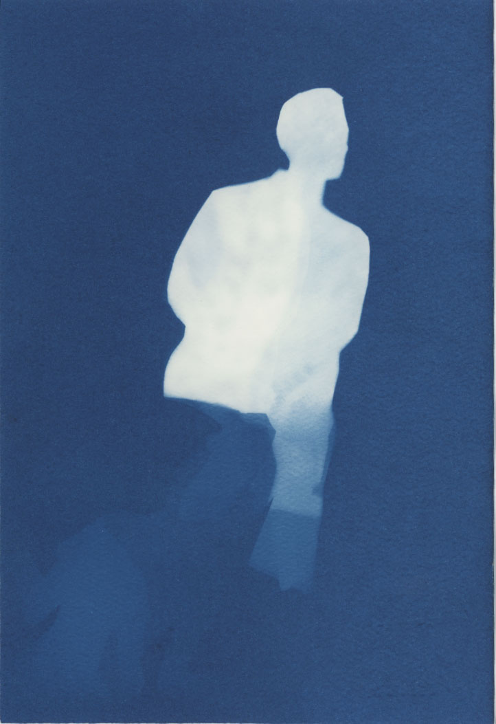
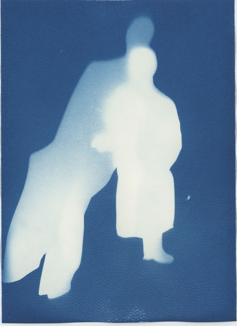
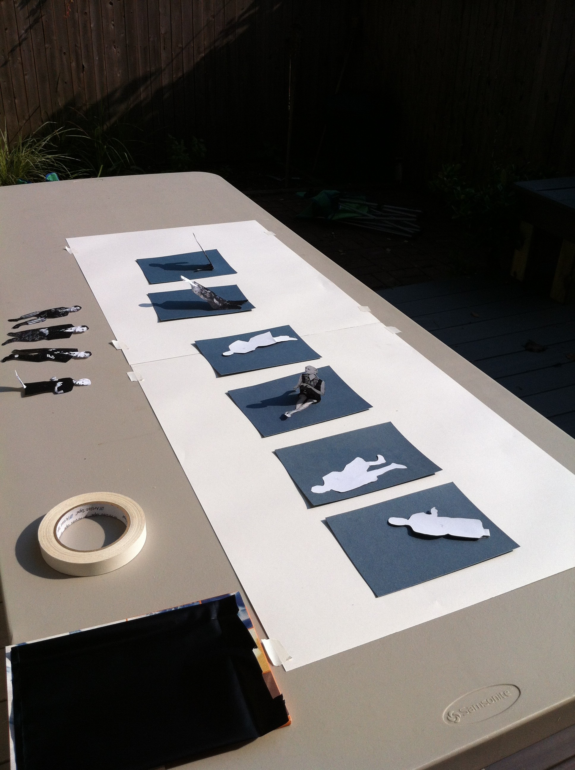
Mannequin sun prints, the process shots.

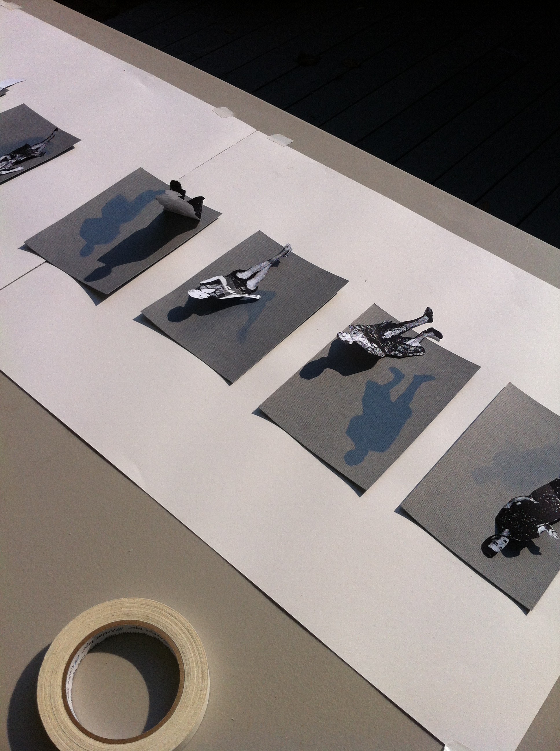
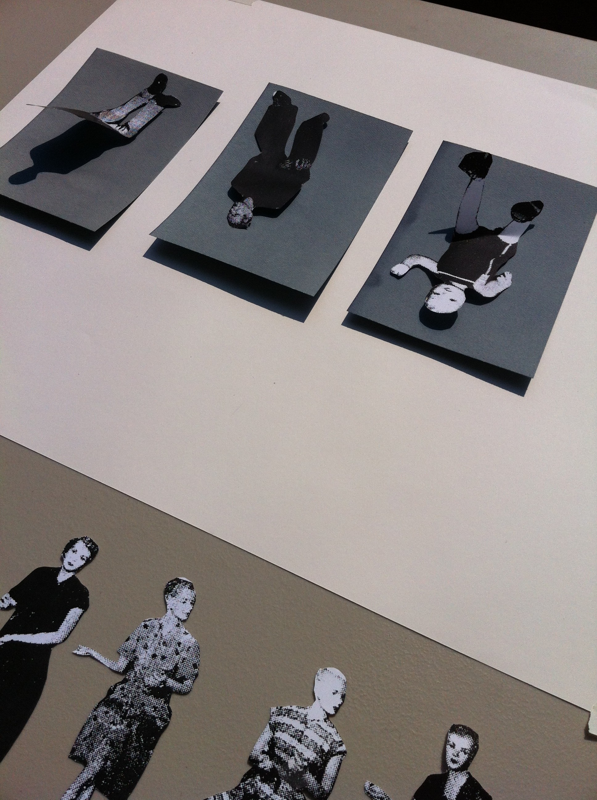
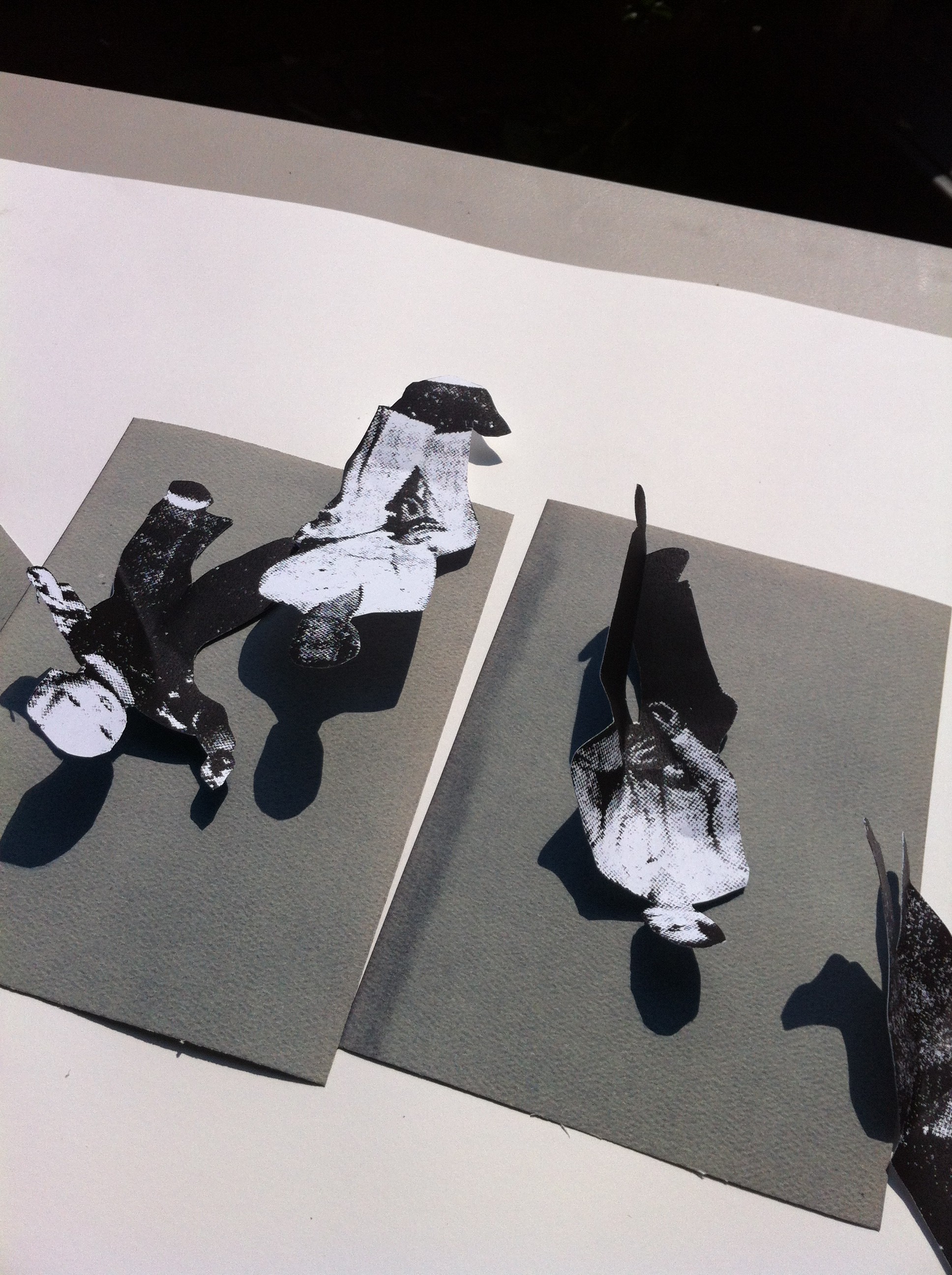
The first group of cut-outs in the sunshine. Some prints are scenarios of characters and others are single silhouettes. The compositions are created by overlapping the shapes, shifting their orientation to the light, positioning them at different degrees of contact to the paper, and making multiple exposures.

sun prints process 4

The results once rinsed in water. The prints are double-sided.

sun prints process 6

Researching the L.A. Darling Co. Mannequins.

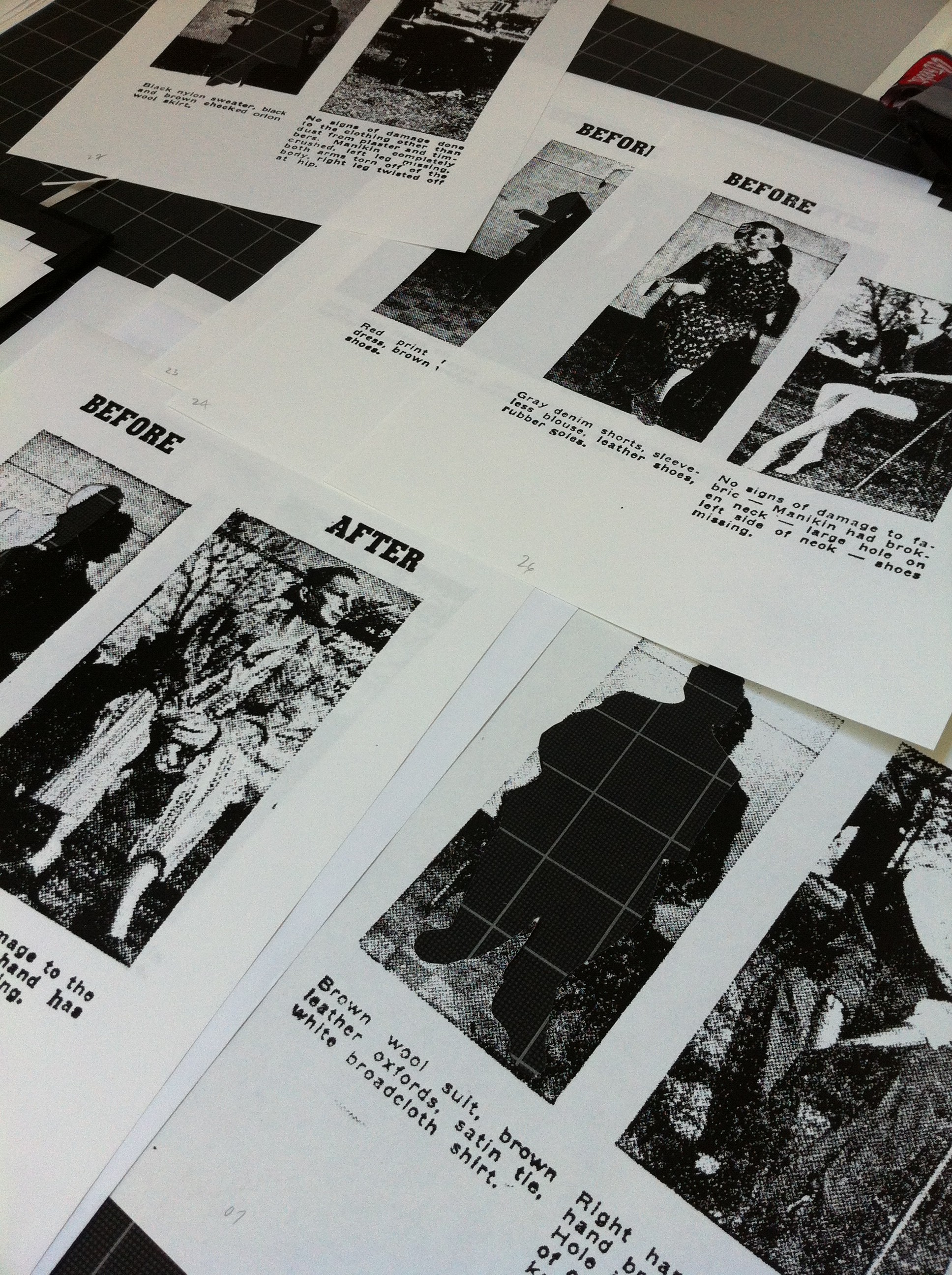
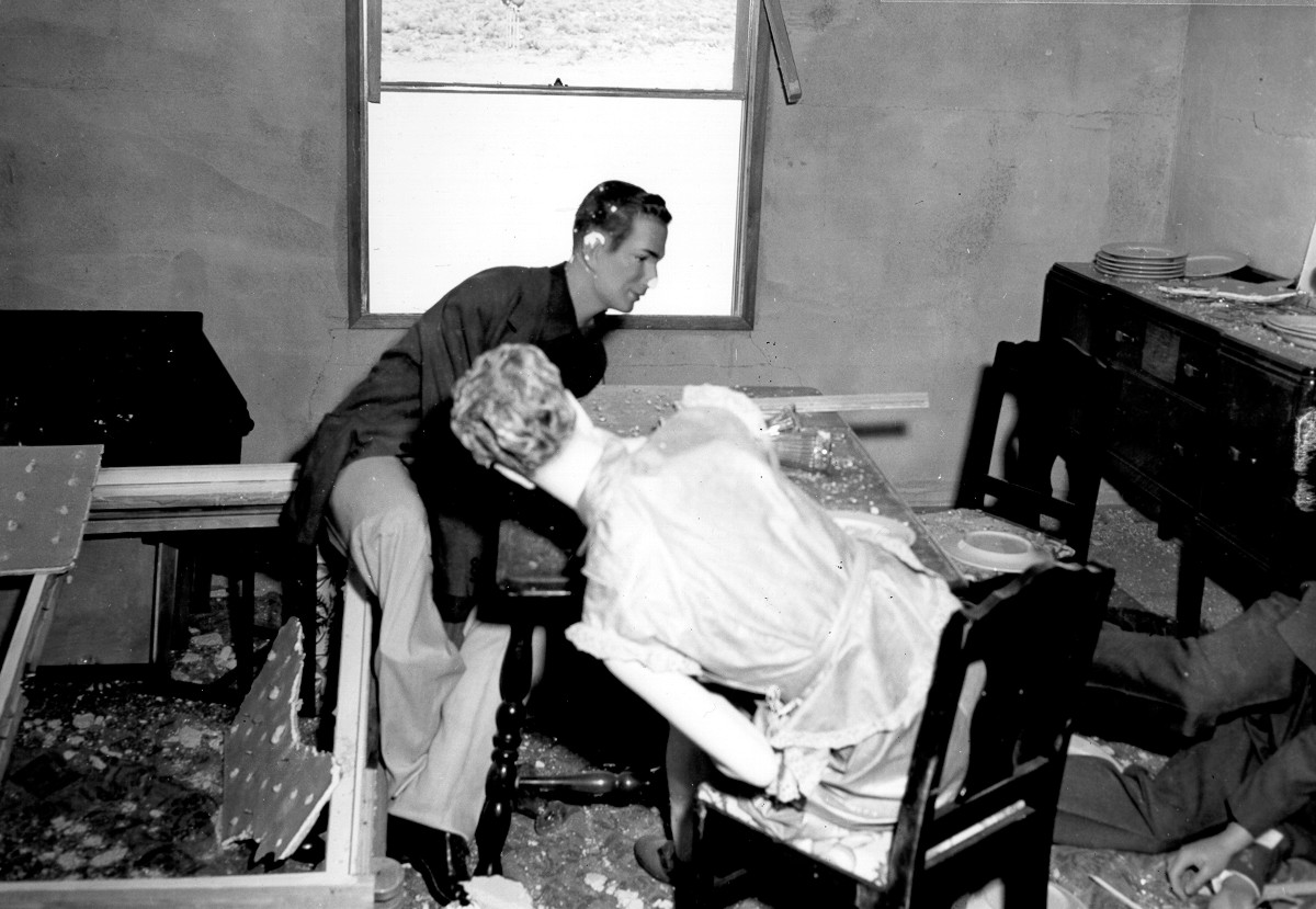
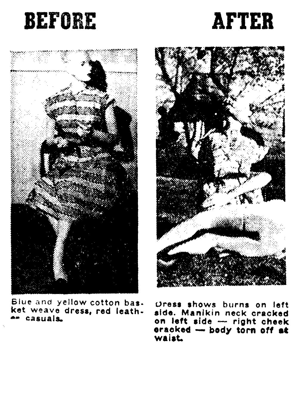
The project also reveals and memorializes the role that display mannequins played in the Civil Defense program. Representing human subjects, they experienced the force of nuclear explosions in the 1950s. I have been researching their involvement and trying to determine their whereabouts. Their story offers compelling historical perspective on the cultural view of the atomic bomb. The mannequins offer a formal counterpoint to the abstraction of the craters and point to the human cost of war. (Image courtesy of the Nevada Test Site Historical Foundation.)

Excerpts from a J.C. Penney advertisement in the Las Vegas Review Journal newspaper, April 1953. (Image courtesy of the Nevada Test Site Historical Foundation.)

(Image courtesy of the Nevada Test Site Historical Foundation.)

The double page spread newspaper advertisement for J.C. Penney and the L.A. Darling Co. was published in the Las Vegas Review Journal, April 17, 1953. (Image courtesy of the Nevada Test Site Historical Foundation.)


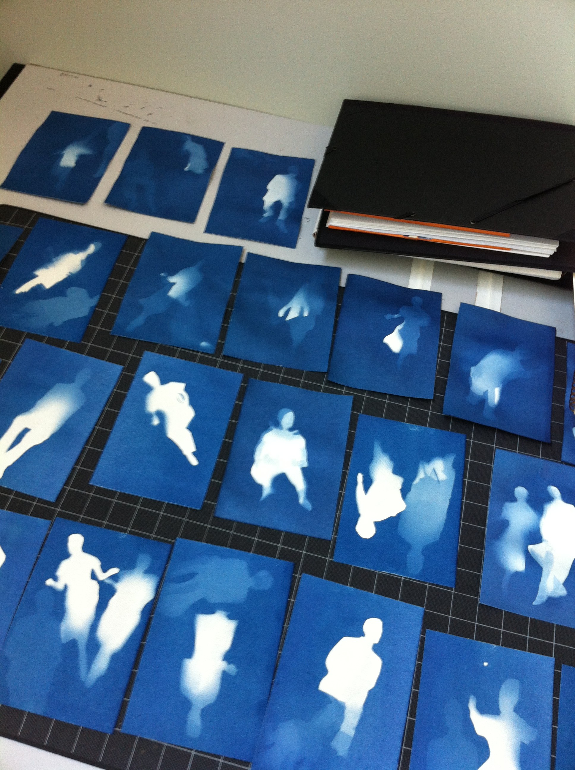
I am making sun prints of the fifty mannequins who participated in the March 17, 1953 Annie Test at the Nevada Test Site. Their silhouette forms are taken from the J.C. Penney advertisement. This is an early test. It has been very cloudy in Philadelphia this week, hopefully I can make the prints soon.